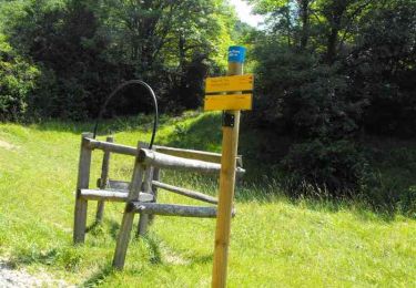
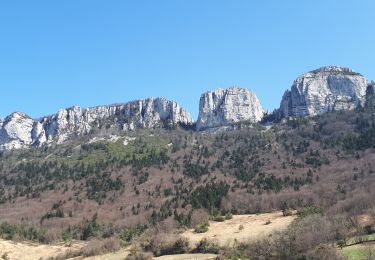
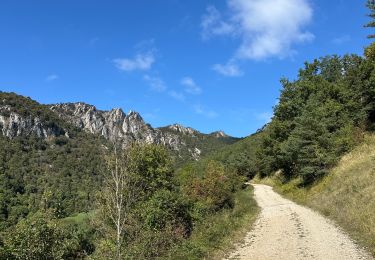
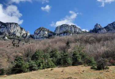
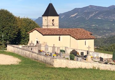
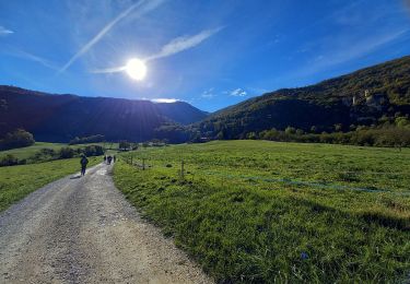
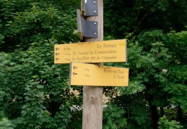
Trail Walking Beauregard-Baret - crête  de l aulagnier  - Photo
 bymarc26
bymarc26

User

© OpenStreetMap contributors
Length
Length
12.8 km
Max alt
Max alt
1289 m
Uphill gradient
Uphill gradient
833 m
Km-Effort
Km-Effort  
24 km
Min alt
Min alt
503 m
Downhill gradient
Downhill gradient
832 m
Boucle
Boucle
Yes
Creation date :
2016-04-24 00:00:00.0
Updated on :
2016-04-24 00:00:00.0

(0 Reviews)

Walking
Walking
5h49
Difficulty : Medium

Scan this QR Code to open this trail in the SityTrail application

FREE GPS app for hiking

Logo SityTrail SityTrail

IGN / Geographical institutes

Download SityTrail from the App Store Download SityTrail from Google Play

Logo SityTrail SityTrail World

The world is yours!

Download SityTrail from the App Store Download SityTrail from Google Play Download SityTrail on Huawei AppGallery

About

Trail Walking of 12.8 km to be discovered at Auvergne-Rhône-Alpes, Drôme, Beauregard-Baret. This trail is proposed by bymarc26.

Description

Attention passages parfois très raides.
A ne pas faire par temps humide

Elevation profile

Positioning

Country:
France
Region :
Auvergne-Rhône-Alpes
Department/Province :
Drôme
Municipality :
Beauregard-Baret
Location:
Unknown
Start:(UTM)
673245 ; 4984414 (31T) N.

Trails nearby

Trail Walking Beauregard-Baret - Pré de Cinq Sous - Beauregard Baret - Photo
Walking
tracegps

Walking

Medium
(1)
Beauregard-Baret, Auvergne-Rhône-Alpes, Drôme, France
11.6 km | 23 km-effort
5h 0min
Yes
Trail Walking Rochefort-Samson - Les Vachères - Combe d'oyans  - Photo
Walking
randochu

Walking

Difficult
(1)
Rochefort-Samson, Auvergne-Rhône-Alpes, Drôme, France
17.1 km | 28 km-effort
8h 26min
Yes
Trail Walking Beauregard-Baret - croix st Gervais et Pas du loup - Photo
Walking
GUIDE
nadd73

Walking

Medium
Beauregard-Baret, Auvergne-Rhône-Alpes, Drôme, France
10 km | 16.9 km-effort
5h 4min
No
Trail sport Beauregard-Baret - Pierre rousse pas de pourceau l’eau basse - Photo
sport
alinetpierre

sport

Very easy
Beauregard-Baret, Auvergne-Rhône-Alpes, Drôme, France
14.7 km | 28 km-effort
Unknown
Yes
Trail Walking Barbières - Traversée Barbières Beauregard-Baret - Photo
Walking
GuyVachet

Walking

Very difficult
Barbières, Auvergne-Rhône-Alpes, Drôme, France
17 km | 28 km-effort
7h 9min
No
Trail Walking Rochechinard - Rochechinard la Ragnole les Berthonettes - Photo
Walking
alinetpierre

Walking

Easy
(1)
Rochechinard, Auvergne-Rhône-Alpes, Drôme, France
12.1 km | 18.9 km-effort
2h 55min
Yes
Trail Walking Rochechinard - Chateau de Rochechinard - Photo
Walking
crocau

Walking

Very easy
Rochechinard, Auvergne-Rhône-Alpes, Drôme, France
4.3 km | 6.7 km-effort
1h 57min
Yes
Trail Walking Barbières - Barbières - Source Barberolle - Photo
Walking
Philindy26

Walking

Difficult
(1)
Barbières, Auvergne-Rhône-Alpes, Drôme, France
14.8 km | 23 km-effort
4h 0min
Yes
Trail Walking Beauregard-Baret - Pré de cinq sous - Photo
Walking
cousam

Walking

Medium
Beauregard-Baret, Auvergne-Rhône-Alpes, Drôme, France
8.8 km | 17.4 km-effort
3h 14min
Yes


Close
My subscriptions