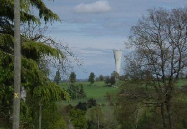
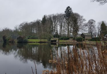
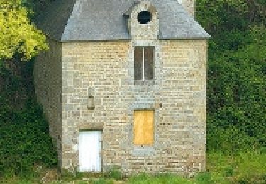
Trail Walking Louvigné-du-Désert - Louvigné_Etangs - Photo
© OpenStreetMap contributors
Length
Length
8.6 km
Max alt
Max alt
182 m
Uphill gradient
Uphill gradient
83 m
Km-Effort
Km-Effort  
9.7 km
Min alt
Min alt
145 m
Downhill gradient
Downhill gradient
83 m
Boucle
Boucle
Yes
Creation date :
2016-04-22 00:00:00.0
Updated on :
2016-04-22 00:00:00.0

(0 Reviews)

Walking
Walking
2h10
Difficulty : Easy

Scan this QR Code to open this trail in the SityTrail application

FREE GPS app for hiking

Logo SityTrail SityTrail

IGN / Geographical institutes

Download SityTrail from the App Store Download SityTrail from Google Play

Logo SityTrail SityTrail World

The world is yours!

Download SityTrail from the App Store Download SityTrail from Google Play Download SityTrail on Huawei AppGallery

About

Trail Walking of 8.6 km to be discovered at Brittany, Ille-et-Vilaine, Louvigné-du-Désert. This trail is proposed by neoroll44.

Description

Circuit des étangs (rose).
Départ parking du restaurant de la Gare. Se diriger vers le restaurant, le
contourner et suivre la rue Emile. Prendre à droite à l’intersection, puis
au rond-point prendre l’avenue de Monthorin à gauche, continuer tout
droit jusqu’à l’entrée du Château de Monthorin.
Entrer par la gauche dans un champ, puis emprunter par la droite le passage se trouvant entre la dernière rangée d’arbres d’une plantation et la clôture. Rejoindre par ce chemin la route départementale.
Contourner le Bois de Monthorin en marchant sur le bas-côté droit de la route. Tourner à droite sur la voie communale. Prendre ensuite
sur votre droite le chemin qui mène au village de la Berhaudais, suivre le chemin de terre prolongeant celui goudronné, aller vers
la gauche.
Prendre à droite puis à gauche pour rejoindre Lozier. Au village de
Lozier, tourner à droite pour rejoindre un chemin de terre, tourner à nouveau à droite. À la sortie du chemin, reprendre par la gauche la voie communale sur environ 200 mètres, puis entrer dans un chemin de terre sur la droite.
Au bout du chemin traverser la départementale et partir sur la gauche, 100 mètres plus loin, à droite, prendre le chemin du village de la barre de Bléron, pour rejoindre l’ancienne
voie ferrée aujourd’hui voie verte. Revenir vers le centre-ville par la droite et rejoindre le parking de départ.

Elevation profile

Positioning

Country:
France
Region :
Brittany
Department/Province :
Ille-et-Vilaine
Municipality :
Louvigné-du-Désert
Location:
Unknown
Start:(UTM)
638060 ; 5371671 (30U) N.

Trails nearby

Trail On foot Monthault - Paysages et couleurs - Photo
On foot
GUIDE+

On foot

Easy
Monthault, Brittany, Ille-et-Vilaine, France
7.7 km | 9.6 km-effort
2h 10min
Yes
Trail Walking Louvigné-du-Désert - Balade Saint-Guillaume - Louvigné du Désert  - Photo
Walking
tracegps

Walking

Medium
Louvigné-du-Désert, Brittany, Ille-et-Vilaine, France
9.4 km | 11.4 km-effort
2h 30min
Yes
Trail Walking Mellé - Sentier Pierre & Nature - Mellé - Photo
Walking
tracegps

Walking

Medium
Mellé, Brittany, Ille-et-Vilaine, France
9.3 km | 11.2 km-effort
2h 30min
Yes
Trail Nordic walking Louvigné-du-Désert - louvigné du desert - Photo
Nordic walking
cecillon

Nordic walking

Very easy
Louvigné-du-Désert, Brittany, Ille-et-Vilaine, France
8.7 km | 9.8 km-effort
2h 5min
Yes
Trail Walking La Bazouge-du-Désert - La Bazouge_Epinay - Photo
Walking
neoroll44

Walking

Easy
La Bazouge-du-Désert, Brittany, Ille-et-Vilaine, France
6.6 km | 7.8 km-effort
1h 50min
Yes
Trail Walking Louvigné-du-Désert - La Morinais 13 kms - Photo
Walking
Wandelaar99

Walking

Difficult
Louvigné-du-Désert, Brittany, Ille-et-Vilaine, France
13.4 km | 15.6 km-effort
3h 33min
Yes
Trail Walking Louvigné-du-Désert - Pierrelée - Photo
Walking
Wandelaar99

Walking

Easy
Louvigné-du-Désert, Brittany, Ille-et-Vilaine, France
4.5 km | 4.9 km-effort
1h 6min
Yes
Trail Other activity Louvigné-du-Désert - Circuit St Guillaume Louvigne´ du De´sert VR 10,4 km - Photo
Other activity
GUIDE
yago1404

Other activity

Very easy
Louvigné-du-Désert, Brittany, Ille-et-Vilaine, France
10.4 km | 12.1 km-effort
Unknown
Yes
Trail Walking Louvigné-du-Désert - Louvigné_Vergers - Photo
Walking
neoroll44

Walking

Easy
Louvigné-du-Désert, Brittany, Ille-et-Vilaine, France
8.4 km | 9.8 km-effort
2h 10min
Yes


Close
My subscriptions