


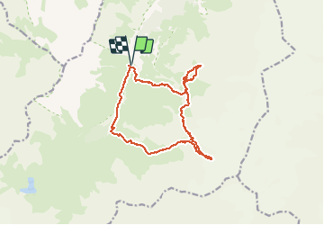

11 km | 19.3 km-effort

User GUIDE


FREE GPS app for hiking
 SityTrail
IGN / Geographical institutes
SityTrail World
The world is yours!
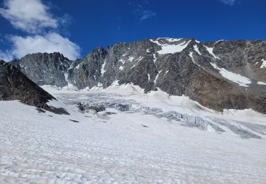
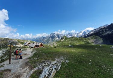
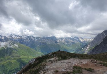
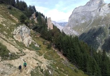
Trail Other activity of 16.1 km to be discovered at Auvergne-Rhône-Alpes, Savoy, Pralognan-la-Vanoise. This trail is proposed by nadd73.
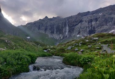
Du refuge du Richard de la Pêche. .au Ritort monter à gauche et rester le long de la crête de l'Argentine. Col du Genepy (essai du Supérieur mais plaqué )
Descente et monter au Col du Vallon net
Descente dans le vallon et refuge


Walking
Walking
Walking
Walking
On foot
Walking
Walking
Walking
Walking