7.3 km | 10 km-effort
15 km herbeumont adeps 4
Dom62
User
Length
15.4 km
Max alt
433 m
Uphill gradient
437 m
Km-Effort
21 km
Min alt
263 m
Downhill gradient
436 m
Boucle
Yes
Creation date :
2016-04-17 00:00:00.0
Updated on :
2016-04-17 00:00:00.0
3h23
Difficulty : Medium
FREE GPS app for hiking
About
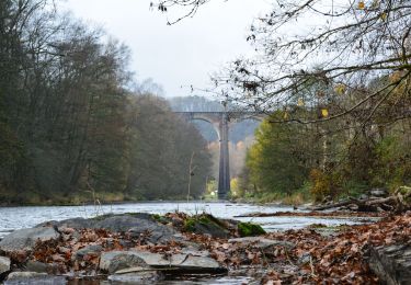
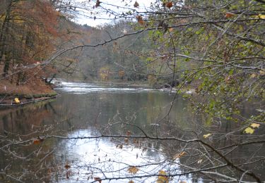
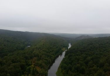
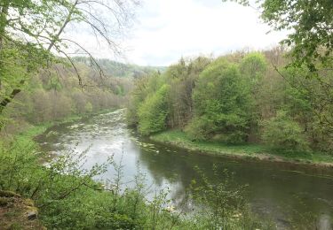
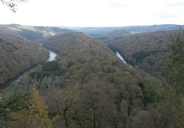
Trail Walking of 15.4 km to be discovered at Wallonia, Luxembourg, Herbeumont. This trail is proposed by Dom62.
Positioning
Country:
Belgium
Region :
Wallonia
Department/Province :
Luxembourg
Municipality :
Herbeumont
Location:
Herbeumont
Start:(Dec)
Start:(UTM)
661041 ; 5516527 (31U) N.
Comments
Trails nearby
RB-Lu-23_Herbeumont_via-racc-1-et-var
Walking
Very difficult
(4)
Herbeumont,
Wallonia,
Luxembourg,
Belgium
18.6 km | 25 km-effort
5h 44min
Yes
RB-Lu-23_Herbeumont
Walking
Difficult
(2)
Herbeumont,
Wallonia,
Luxembourg,
Belgium
26 km | 35 km-effort
7h 26min
Yes
Marche Adeps 10 km
Walking
Difficult
(6)
Herbeumont,
Wallonia,
Luxembourg,
Belgium
9.1 km | 12.6 km-effort
2h 51min
Yes
rando les epioux 15/09/2020
Walking
Very easy
(1)
Florenville,
Wallonia,
Luxembourg,
Belgium
18.1 km | 23 km-effort
4h 7min
Yes
14km St Cécile vers Herbeumont
Walking
Medium
(1)
Florenville,
Wallonia,
Luxembourg,
Belgium
14 km | 18.1 km-effort
2h 56min
Yes
RSIH - Herbeumont - Les Épioux
Walking
Difficult
(1)
Herbeumont,
Wallonia,
Luxembourg,
Belgium
14.8 km | 19.2 km-effort
4h 21min
Yes
Les Burzais - départ du gite Le bout des bois
Walking
Medium
(3)
Herbeumont,
Wallonia,
Luxembourg,
Belgium
4.2 km | 5.9 km-effort
1h 30min
Yes
herbeumont libaipire
Running
Medium
(1)
Herbeumont,
Wallonia,
Luxembourg,
Belgium
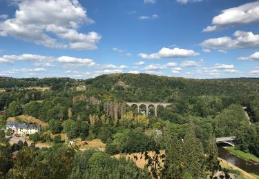
15.5 km | 22 km-effort
1h 46min
No
Belle randonnée, avec de beaux paysages typiques de la région et les points de vues qui vont avec . Etant donné que le viaduc de Conques (anc. ligne 123A) est en réfection jusqu'à fin 2021 (ça me parait un peu court), nous avons du emprunter en partie la N884 afin de rentrer dans le centre d'Herbeumont; notre trajet total s'élève à 16,8 km (confirmé sur 2 GPS dédiés). GPS Utilisé: Garmin GPSMAP 64sx (détection satellites sélectionnée: GPS + Glonass). Merci à Dom62 pour son partage!