


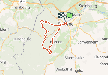


13.1 km | 18.6 km-effort


User


FREE GPS app for hiking
 SityTrail
IGN / Geographical institutes
SityTrail World
The world is yours!
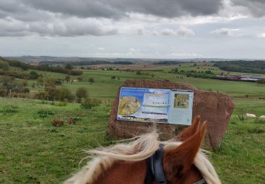
Trail Walking of 24 km to be discovered at Grand Est, Bas-Rhin, Saverne. This trail is proposed by DanielROLLET.
16.04.2016 Rando ASPV
Marie, Lysiane, Bruno, Gérard et moi.
Temps pluvieux surtout entre Stambach et Abri MF Schaefenplatz.
Départ 8h30 de la gare retour 16h30 (arrêts compris)

Mountain bike

Walking
On foot

On foot
On foot
On foot

On foot
Horseback riding

Walking