17.5 km | 19.6 km-effort
Ruffec_Forêt
neoroll44
User
Length
8.5 km
Max alt
145 m
Uphill gradient
120 m
Km-Effort
10 km
Min alt
86 m
Downhill gradient
118 m
Boucle
Yes
Creation date :
2016-04-16 00:00:00.0
Updated on :
2016-04-16 00:00:00.0
2h20
Difficulty : Easy
FREE GPS app for hiking
About
Trail Walking of 8.5 km to be discovered at New Aquitaine, Charente, Ruffec. This trail is proposed by neoroll44.
Description
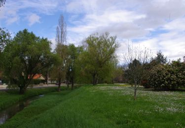
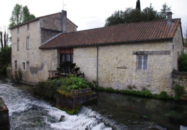
Circuit bleu, depuis l'église St-André, l'arboretum et la forêt de Ruffec.
Positioning
Country:
France
Region :
New Aquitaine
Department/Province :
Charente
Municipality :
Ruffec
Location:
Unknown
Start:(Dec)
Start:(UTM)
283494 ; 5100895 (31T) N.
Comments
Trails nearby
Ruffec_Logis
Walking
Medium
Ruffec,
New Aquitaine,
Charente,
France
17.3 km | 19.7 km-effort
4h 20min
Yes
Condac_Bioussac_Barro
Walking
Medium
Condac,
New Aquitaine,
Charente,
France
26 km | 31 km-effort
6h 40min
Yes
Ruffec_Jardins
Walking
Easy
(2)
Ruffec,
New Aquitaine,
Charente,
France
5.4 km | 6.2 km-effort
1h 30min
Yes
Taizé-Aizie
Walking
Medium
Taizé-Aizie,
New Aquitaine,
Charente,
France
14.7 km | 17 km-effort
4h 0min
Yes
Villegats
Walking
Medium
Courcôme,
New Aquitaine,
Charente,
France
11.4 km | 13.6 km-effort
3h 0min
Yes