


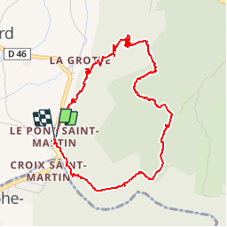

11.1 km | 17.4 km-effort


User


FREE GPS app for hiking
 SityTrail
IGN / Geographical institutes
SityTrail World
The world is yours!
Trail Walking of 5.4 km to be discovered at Auvergne-Rhône-Alpes, Savoy, Saint-Christophe. This trail is proposed by TaxiMarne.
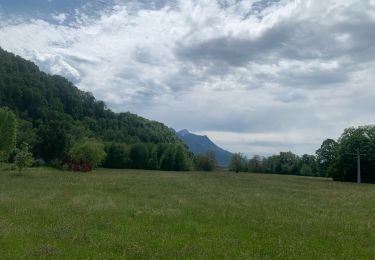
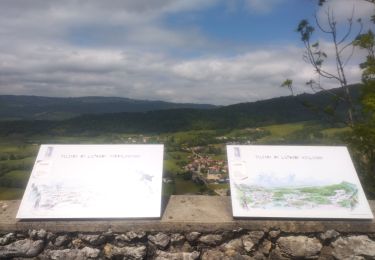
Départ du Pont Saint-Martin,Montée sur le plateau de la Ravoire, on domine les gorges de l'Echaillon. Puis on rejoint le nouveau site Préhistorique de la Fru qui relie la route Sarde. Et pour finir on retourne au Pont Saint-martin par la route.

Snowshoes

Road bike

Walking

Walking

Walking

Touring skiing

Walking

sport
Trail