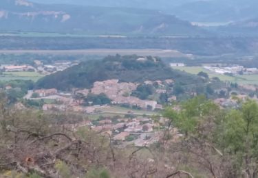
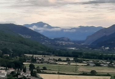
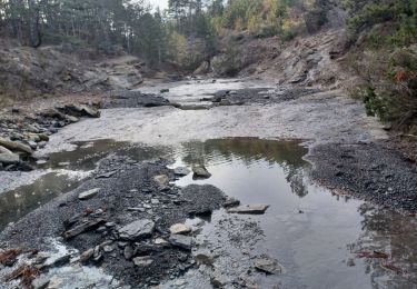
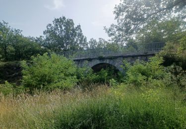
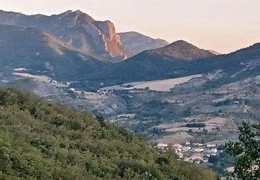
10.4 km | 16.2 km-effort
peipin
midu59
User
Length
8.7 km
Max alt
1036 m
Uphill gradient
523 m
Km-Effort
15.7 km
Min alt
522 m
Downhill gradient
525 m
Boucle
Yes
Creation date :
2019-07-08 21:32:20.665
Updated on :
2019-07-08 21:32:20.879
4h49
Difficulty : Unknown
FREE GPS app for hiking
About
Trail Other activity of 8.7 km to be discovered at Provence-Alpes-Côte d'Azur, Alpes-de-Haute-Provence, Peipin. This trail is proposed by midu59.
Positioning
Country:
France
Region :
Provence-Alpes-Côte d'Azur
Department/Province :
Alpes-de-Haute-Provence
Municipality :
Peipin
Location:
Unknown
Start:(Dec)
Start:(UTM)
736196 ; 4891680 (31T) N.
Comments
Trails nearby
les 2 sommets sr Jean et tigne
Running
Medium
(1)
Volonne,
Provence-Alpes-Côte d'Azur,
Alpes-de-Haute-Provence,
France
1h 7min
Yes
jas du Mathieu
Walking
Medium
(1)
Aubignosc,
Provence-Alpes-Côte d'Azur,
Alpes-de-Haute-Provence,
France
6 km | 9.9 km-effort
2h 14min
Yes
aubignosc. les canyons. partie basse
Walking
Medium
Aubignosc,
Provence-Alpes-Côte d'Azur,
Alpes-de-Haute-Provence,
France
7.9 km | 11.1 km-effort
2h 50min
Yes
aubignosc. Le canyon de mourieu , partie haute
Walking
Medium
Aubignosc,
Provence-Alpes-Côte d'Azur,
Alpes-de-Haute-Provence,
France
4.9 km | 6.7 km-effort
2h 20min
Yes
SALIGNAC . CRETES S MARTIN . CHAPELLES . O L S
Walking
Medium
Volonne,
Provence-Alpes-Côte d'Azur,
Alpes-de-Haute-Provence,
France
12.9 km | 19.2 km-effort
3h 32min
Yes
PEIPIN . PAR LES CHEMINS ABANDONNÉS DE PEIPIN O L S
Walking
Medium
(1)
Peipin,
Provence-Alpes-Côte d'Azur,
Alpes-de-Haute-Provence,
France
9 km | 17.7 km-effort
2h 46min
Yes
BEVONS crêtes de Chapage o l s m
Walking
Medium
Sisteron,
Provence-Alpes-Côte d'Azur,
Alpes-de-Haute-Provence,
France
8.2 km | 15 km-effort
2h 37min
Yes
Tour du Lac
On foot
Easy
Volonne,
Provence-Alpes-Côte d'Azur,
Alpes-de-Haute-Provence,
France
4.6 km | 5.2 km-effort
1h 11min
No
Tour du Lac
On foot
Easy
Château-Arnoux-Saint-Auban,
Provence-Alpes-Côte d'Azur,
Alpes-de-Haute-Provence,
France
3.6 km | 4.1 km-effort
55min
No