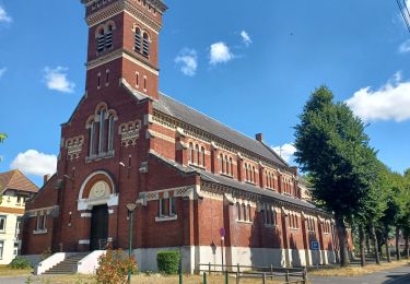
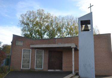
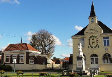
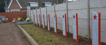
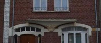
Trail Walking Méricourt - MERICOURT DECOUVERTE 1er partie - Photo

MERICOURT DECOUVERTE 1er partie

Randonnées de la Ville de Méricourt PRO

© OpenStreetMap contributors
Length
Length
8.1 km
Max alt
Max alt
58 m
Uphill gradient
Uphill gradient
41 m
Km-Effort
Km-Effort  
8.7 km
Min alt
Min alt
39 m
Downhill gradient
Downhill gradient
41 m
Boucle
Boucle
Yes
Creation date :
2018-06-21 00:00:00.0
Updated on :
2018-06-21 00:00:00.0

(0 Reviews)

Walking
Walking
1h57
Difficulty : Very easy

Scan this QR Code to open this trail in the SityTrail application

FREE GPS app for hiking

Logo SityTrail SityTrail

IGN / Geographical institutes

Download SityTrail from the App Store Download SityTrail from Google Play

Logo SityTrail SityTrail World

The world is yours!

Download SityTrail from the App Store Download SityTrail from Google Play Download SityTrail on Huawei AppGallery

About

Trail Walking of 8.1 km to be discovered at Hauts-de-France, Pas-de-Calais, Méricourt. This trail is proposed by Ville de Méricourt.

Description

auteurs : Alain DURAND et Alain BALCEREK

Elevation profile

Photos

33 photos in total. Please click on a photo to see them all in the gallery.

Points of interest

Point of interest Méricourt - MERICOURT DECOUVERTE - Photo
Ville de Méricourt
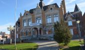
Point of interest Méricourt - Hotel de ville - Photo
Ville de Méricourt
MÉRICOURT 
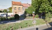
Point of interest Méricourt - Place de la République - Photo
Ville de Méricourt
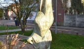
Point of interest Méricourt - Statue de Floha - Photo
Ville de Méricourt
MÉRICOURT 
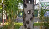
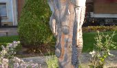
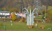
Point of interest Méricourt - Sculptures - place de la République - Photo
Ville de Méricourt
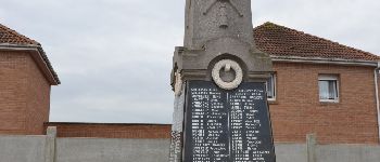
Point of interest Méricourt - Monument aux morts - Photo
Ville de Méricourt
MÉRICOURT 
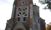
Point of interest Méricourt - Eglise Saint Martin - Photo
Ville de Méricourt
Point of interest Méricourt - Centre Social Max-Pol-Fouchet - Photo
Ville de Méricourt
Point of interest Méricourt - Ancienne chapelle - Photo
Ville de Méricourt
MÉRICOURT 
Point of interest Méricourt -  Secteur du 4/5 sud - Photo
Ville de Méricourt
Point of interest Méricourt - Ancien carreau de fosse 4/5 SUD - Photo
Ville de Méricourt
Point of interest Méricourt - La passerelle - Photo
Ville de Méricourt
MÉRICOURT 
Point of interest Méricourt - Cité du Maroc - Photo
Ville de Méricourt
MÉRICOURT 
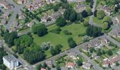
Point of interest Méricourt - Le Parc de la Croisette - Photo
Ville de Méricourt
Point of interest Méricourt - Le dispensaire - Photo
Ville de Méricourt
MÉRICOURT 
Point of interest Méricourt - Rond Point des Droits des Enfants - Photo
Ville de Méricourt
Point of interest Méricourt - Historique de la mine - Photo
Ville de Méricourt
Point of interest Méricourt - La locomotive - Photo
Ville de Méricourt
MÉRICOURT 
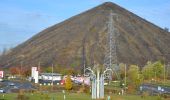
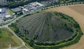
Point of interest Méricourt - Le terril surnommé « le Bossu » - Photo
Ville de Méricourt
Point of interest Sallaumines - Ecole Courty Guy - Photo
Ville de Méricourt
SALLAUMINES 
Point of interest Méricourt - dépôts SNCF - Photo
Ville de Méricourt
MÉRICOURT 
Point of interest Méricourt - prendre le petit chemin descendant à gauche avant le pont - Photo
Ville de Méricourt
Point of interest Méricourt - Le chemin des lapins - Photo
Ville de Méricourt
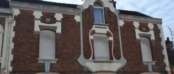
Point of interest Méricourt - maison Art deco rue Barbes - Photo
Ville de Méricourt
Point of interest Méricourt - L'Art Déco - Photo
Ville de Méricourt
MÉRICOURT 
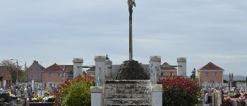
Point of interest Méricourt - Cimetière - Photo
Ville de Méricourt
MÉRICOURT 
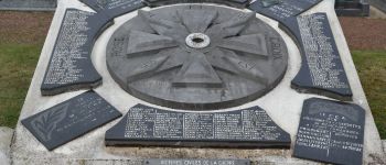
Point of interest Méricourt - Stèles - Photo
Ville de Méricourt
MÉRICOURT 
Point of interest Méricourt - Cénotaphe - Photo
Ville de Méricourt
MÉRICOURT 
Point of interest Méricourt - Monument - Castrophe de Courrières - Photo
Ville de Méricourt
Point of interest Méricourt - Tombes Soviètiques - Photo
Ville de Méricourt
Point of interest Méricourt - Maison art déco - Rue Montesquieu - Photo
Ville de Méricourt
Point of interest Méricourt - Ex Voto - Photo
Ville de Méricourt
MÉRICOURT 

Positioning

Country:
France
Region :
Hauts-de-France
Department/Province :
Pas-de-Calais
Municipality :
Méricourt
Location:
Unknown
Start:(UTM)
490540 ; 5583298 (31U) N.

Trails nearby

Trail Walking Lens - randonnée  - Photo
Walking
sandrine brisset

Walking

Difficult
Lens, Hauts-de-France, Pas-de-Calais, France
10.5 km | 13.4 km-effort
3h 41min
Yes
Trail Walking Hénin-Beaumont - Parc des Iles Hennin Drocourt - Photo
Walking
avdem

Walking

Easy
Hénin-Beaumont, Hauts-de-France, Pas-de-Calais, France
3.5 km | 4.7 km-effort
1h 4min
Yes
Trail Walking Méricourt - MERICOURT DECOUVERTE 1er partie - Photo
Walking
abalcerek

Walking

Very easy
Méricourt, Hauts-de-France, Pas-de-Calais, France
8.1 km | 8.7 km-effort
2h 41min
Yes
Trail Walking Méricourt - Mericourt découverte - Photo
Walking
abalcerek

Walking

Very easy
Méricourt, Hauts-de-France, Pas-de-Calais, France
11.1 km | 12 km-effort
2h 26min
No
Trail Running Courrières - terrils - fouquieres les lens - Photo
Running
jamboxland

Running

Easy
Courrières, Hauts-de-France, Pas-de-Calais, France
15.9 km | 18.7 km-effort
2h 9min
Yes
Trail Walking Farbus - Le chemin de Saint Ranulphe - Farbus - Photo
Walking
tracegps

Walking

Medium
Farbus, Hauts-de-France, Pas-de-Calais, France
7.9 km | 9.5 km-effort
2h 0min
Yes
Trail Walking Méricourt - MERICOURT DECOUVERTE 2e partie - Photo
Walking
PRO

Walking

Easy
Méricourt, Hauts-de-France, Pas-de-Calais, France
6.1 km | 6.5 km-effort
3h 0min
Yes
Trail Walking Arleux-en-Gohelle - Arleux en Gohelle - Acheville - Fresnoy - Photo
Walking
tracegps

Walking

Medium
(1)
Arleux-en-Gohelle, Hauts-de-France, Pas-de-Calais, France
10.9 km | 11.9 km-effort
2h 0min
Yes
Trail Walking Liévin - 13 kms Liévin Pinchonvalles Givenchy - Photo
Walking
CG62

Walking

Difficult
(1)
Liévin, Hauts-de-France, Pas-de-Calais, France
13.1 km | 16 km-effort
3h 38min
Yes


Close
My subscriptions