Trail Walking Autreville-sur-Moselle - Autreville-sur-Moselle - Photo
© OpenStreetMap contributors
Length
Length
12.2 km
Max alt
Max alt
380 m
Uphill gradient
Uphill gradient
507 m
Km-Effort
Km-Effort  
19 km
Min alt
Min alt
185 m
Downhill gradient
Downhill gradient
509 m
Boucle
Boucle
Yes
Creation date :
2016-04-03 00:00:00.0
Updated on :
2016-04-03 00:00:00.0

(0 Reviews)

Walking
Walking
3h54
Difficulty : Easy

Scan this QR Code to open this trail in the SityTrail application

FREE GPS app for hiking

Logo SityTrail SityTrail

IGN / Geographical institutes

Download SityTrail from the App Store Download SityTrail from Google Play

Logo SityTrail SityTrail World

The world is yours!

Download SityTrail from the App Store Download SityTrail from Google Play Download SityTrail on Huawei AppGallery

About

Trail Walking of 12.2 km to be discovered at Grand Est, Meurthe-et-Moselle, Autreville-sur-Moselle. This trail is proposed by DanielROLLET.

Description

le 23.03.2016 Reco ASPV 9 personnes
Départ/retour parking bord de Moselle sur la D40.
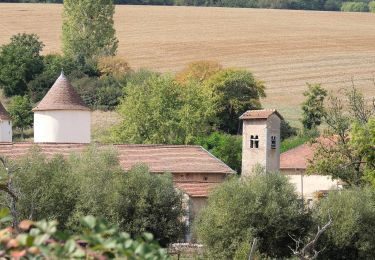
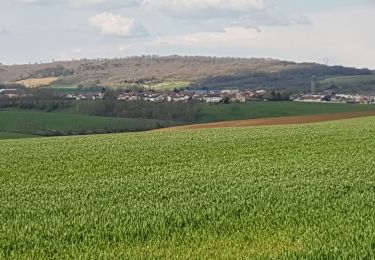
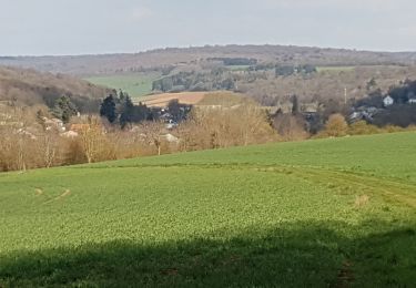
trés belle marche avec points de vue magnifiques (Vallée de la Moselle, vallée de la Nartagne, Metz, châteaux de Landremont et Villers-les-Prudhommes sans oublier le plateau de la statue de la Vierge à la cote 385.
Suivre balisage cercles rouges.
Attention en arrivant au pied du gîte d'étape aprés Ville-au-Val, il y a le choix entre 2 chemins, un à droite et l'autre à gauche. Si on prend à droite il faut être attentif pour rattraper le plateau de la statue de la Vierge.
Prévoir 3h45 avec les arrêts, il y a un peu de dénivelée.
3 avril 2016 9personnes de l'ASPV. Temps humide et pluvieux. sentiers pentus glissants en montée et en descente. Bien suivi l'itinéraire à gauche en-dessous du gîte.
Possibilité d'abri sous hangar et de café au gîte.
Fait la pause sous un hangar du gîte à cause de la pluie.

Elevation profile

Positioning

Country:
France
Region :
Grand Est
Department/Province :
Meurthe-et-Moselle
Municipality :
Autreville-sur-Moselle
Location:
Unknown
Start:(UTM)
288191 ; 5411715 (32U) N.

Trails nearby

Trail Cycle Dieulouard - La petite Suisse Lorraine - Circuit n° 11 - Photo
Cycle
tracegps

Cycle

Medium
(1)
Dieulouard, Grand Est, Meurthe-et-Moselle, France
29 km | 35 km-effort
1h 30min
Yes
Trail On foot Sainte-Geneviève - Boucle de la Colline - Photo
On foot
GUIDE+

On foot

Medium
Sainte-Geneviève, Grand Est, Meurthe-et-Moselle, France
15.1 km | 22 km-effort
4h 59min
Yes
Trail Mountain bike Millery - Rando VTT Millery-Autreville Tous unis contre le cancer 2024 - Photo
Mountain bike
g.chotel

Mountain bike

Medium
(1)
Millery, Grand Est, Meurthe-et-Moselle, France
16 km | 21 km-effort
1h 25min
Yes
Trail Mountain bike Millery - Rando VTT 25km Millery-Autreville Tous unis contre le cancer 2022 - Photo
Mountain bike
g.chotel

Mountain bike

Medium
(1)
Millery, Grand Est, Meurthe-et-Moselle, France
24 km | 30 km-effort
2h 5min
Yes
Trail On foot Marbache - Circuit de la Vierge de Belleville - Photo
On foot
GUIDE+

On foot

Easy
Marbache, Grand Est, Meurthe-et-Moselle, France
6 km | 8.5 km-effort
1h 55min
Yes
Trail Walking Saizerais - SAIZERAIS - LES CORNOUILLERS ET LES HOSPICES - Photo
Walking
jean-marie.parachini

Walking

Very easy
Saizerais, Grand Est, Meurthe-et-Moselle, France
8.6 km | 10 km-effort
3h 53min
Yes
Trail Walking Millery - MILLERY - LA CÔTE DE CREUX - Photo
Walking
jean-marie.parachini

Walking

Easy
(2)
Millery, Grand Est, Meurthe-et-Moselle, France
10.5 km | 13.6 km-effort
4h 28min
Yes
Trail Walking Dieulouard - DIEULOUARD - VERS BELLEVILLE ET SAIZERAIS - Photo
Walking
jean-marie.parachini

Walking

Easy
Dieulouard, Grand Est, Meurthe-et-Moselle, France
13.9 km | 16.7 km-effort
4h 43min
Yes
Trail Walking Marbache - MARBACHE - LA TARTE - Photo
Walking
jean-marie.parachini

Walking

Very easy
Marbache, Grand Est, Meurthe-et-Moselle, France
8.3 km | 10.8 km-effort
3h 15min
Yes


Close
My subscriptions