


12.3 km | 14 km-effort


User


FREE GPS app for hiking
 SityTrail
IGN / Geographical institutes
SityTrail World
The world is yours!
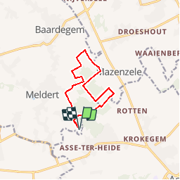
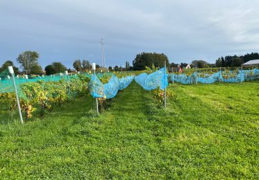
Trail Walking of 9.4 km to be discovered at Flanders, East Flanders, Aalst. This trail is proposed by corry.vandenbroeke.
Start: Café Stinne - Putstraat 116 - 9310 Meldert. Sommige stukken zijn enorm drassig na regenweer. Ideale wandeling voor Nordic Walking. Deze wandeling wordt U gratis aangeboden door www.StepAway.be

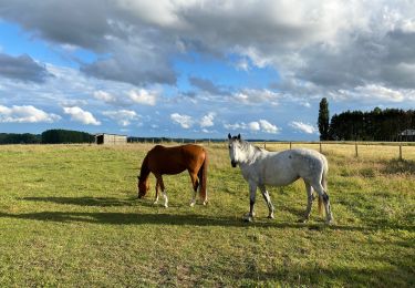
Horseback riding
On foot

Walking
Walking
Walking
Walking
Walking
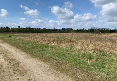
Walking