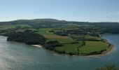

Seillou

neoroll44
User

Length
15.9 km

Max alt
143 m

Uphill gradient
379 m

Km-Effort
21 km

Min alt
-3 m

Downhill gradient
374 m
Boucle
Yes
Creation date :
2016-05-09 00:00:00.0
Updated on :
2016-05-09 00:00:00.0
4h00
Difficulty : Difficult

FREE GPS app for hiking
About
Trail Walking of 15.9 km to be discovered at Brittany, Finistère, Rosnoën. This trail is proposed by neoroll44.
Description
Les bords de l'Aulne près de Rosnoën et face à la pointe de Landévennec. De belles vues sur l'Aulne. Des parties difficiles le long de la berge et en forêt. Des parties impraticables à marée haute. Attention aux horaires et coefficients de marée.
Positioning
Country:
France
Region :
Brittany
Department/Province :
Finistère
Municipality :
Rosnoën
Location:
Unknown
Start:(Dec)
Start:(UTM)
407943 ; 5346520 (30U) N.
Comments
Trails nearby
GR34 Le Faou -- Rangoulic


Walking
Very difficult
Le Faou,
Brittany,
Finistère,
France

18.3 km | 25 km-effort
5h 38min
No
Le tour de Landévennec Boucle 21 km


Walking
Very difficult
Landévennec,
Brittany,
Finistère,
France

21 km | 28 km-effort
5h 10min
Yes
Landévennec - boucles locales et GR34 - 13.8km 250m 4h10 (35mn) - 2019 09 12


Walking
Easy
Landévennec,
Brittany,
Finistère,
France

13.8 km | 17.2 km-effort
4h 10min
Yes

Menez Hom_10,3km_Trace GPS


Walking
Medium
(1)
Trégarvan,
Brittany,
Finistère,
France

10.2 km | 14 km-effort
3h 0min
Yes

TREGARVAN_6,7km_Trace GPS


Walking
Easy
(1)
Trégarvan,
Brittany,
Finistère,
France

6.7 km | 8.4 km-effort
1h 50min
Yes
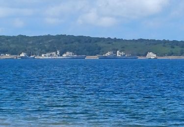
GR34 Rangoulic -- Lanvéoc


Walking
Very difficult
Landévennec,
Brittany,
Finistère,
France

25 km | 33 km-effort
7h 26min
No
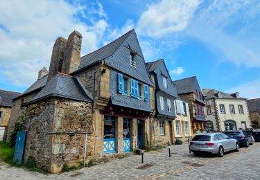
Visite express du centre historique de Le Faou


Walking
Very easy
Le Faou,
Brittany,
Finistère,
France

2.3 km | 2.5 km-effort
33min
Yes
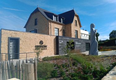
LANDÉVENNEC


Walking
Difficult
Landévennec,
Brittany,
Finistère,
France

19.4 km | 25 km-effort
4h 41min
No

GRP_Crozon_CB_01_Le-Faou_Argol_20200919


Walking
Medium
Le Faou,
Brittany,
Finistère,
France

15.9 km | 21 km-effort
4h 31min
No


 SityTrail


