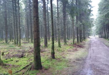
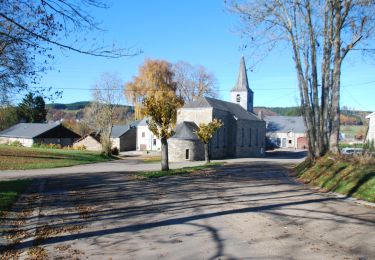
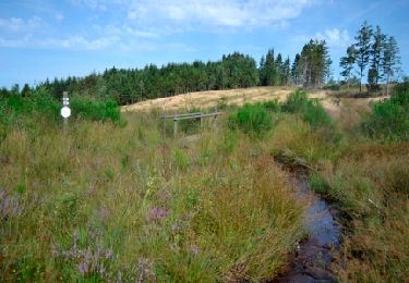
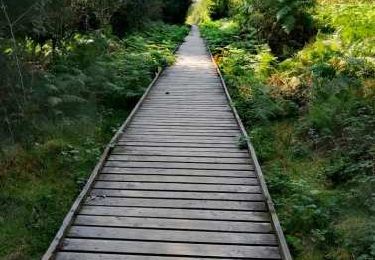
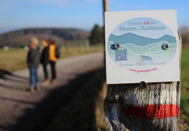
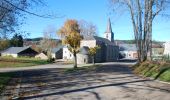
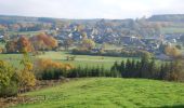
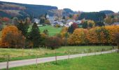
Trail Walking Manhay - RB-Lu-32_Malempré - Photo

RB-Lu-32_Malempré

Randonnez sur et autour des GR ® wallons (Sentiers de Grande Randonnée). PRO

© OpenStreetMap contributors
Length
Length
22 km
Max alt
Max alt
580 m
Uphill gradient
Uphill gradient
514 m
Km-Effort
Km-Effort  
29 km
Min alt
Min alt
419 m
Downhill gradient
Downhill gradient
509 m
Boucle
Boucle
Yes
Creation date :
2019-08-07 07:20:20.246
Updated on :
2024-05-20 13:47:26.554

(2 Reviews)

Walking
Walking
6h29
Difficulty : Very difficult

Scan this QR Code to open this trail in the SityTrail application

FREE GPS app for hiking

Logo SityTrail SityTrail

IGN / Geographical institutes

Download SityTrail from the App Store Download SityTrail from Google Play

Logo SityTrail SityTrail World

The world is yours!

Download SityTrail from the App Store Download SityTrail from Google Play Download SityTrail on Huawei AppGallery

About

Trail Walking of 22 km to be discovered at Wallonia, Luxembourg, Manhay. This trail is proposed by GR Rando.

Description

Point de départ : « Ferme Saint-Martin », rue Saint-Martin, 18 – 6960 Malempré.
Accès : [voiture] Coordonnées GPS : 50° 16' 52.1" N ; 5° 42' 54.5" E.
[TEC] arrêt Centre.

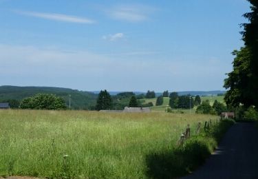
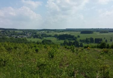
Entre vastes étendues forestières, paysages campagnards vallonnés, paisibles et pittoresques villages de Haute Ardenne, la commune de Manhay a su préserver son caractère rural et authentique. Cette RB invite le randonneur à découvrir les villages de l’entité, une fagne protégée et une rivière sauvage, le tout relié par un plateau offrant de multiples surprises.

Photos

Points of interest

Point of interest Manhay - RB-Lu-32-POI-02_Manhay - Photo
GR Rando
Point of interest Manhay - RB-Lu-32-POI-04_Oster - Photo
GR Rando
Point of interest Manhay - RB-Lu-32-POI-07_Odeigne - Photo
GR Rando

Positioning

Country:
Belgium
Region :
Wallonia
Department/Province :
Luxembourg
Municipality :
Manhay
Location:
Unknown
Start:(UTM)
693435 ; 5573443 (31U) N.

Comments

Please log in to post a review or rate the element


très beau paysage vue lointaine. trop de route à mon goût mais peu fréquentée. passage bucoliques fans les bois .relativement facile .à faire.


Trails nearby

Trail Walking Vielsalm - baraque fraiture . rocher du diable . vallée de la géhe . la fondroule  . Thier de la forge . las des cignes grognons . fraiture . baraque fraiture  - Photo
Walking
GUIDE
stef789

Walking

Very easy
(4)
Vielsalm, Wallonia, Luxembourg, Belgium
12.1 km | 16.5 km-effort
3h 24min
Yes
Trail Walking Manhay - RB-Lu-32_Malempré_Boucle-1 - Photo
Walking
PRO

Walking

Medium
(1)
Manhay, Wallonia, Luxembourg, Belgium
23 km | 30 km-effort
6h 18min
Yes
Trail Walking Manhay - Odeigne, Natura 2000 - Des sites qui valent le détour. Lx10 - Photo
Walking
GUIDE+

Walking

Easy
(5)
Manhay, Wallonia, Luxembourg, Belgium
8.8 km | 10.9 km-effort
2h 23min
Yes
Trail Walking Vielsalm - Promenade de la Fagne Sacrawé  - Photo
Walking
GUIDE+

Walking

Medium
(11)
Vielsalm, Wallonia, Luxembourg, Belgium
6.1 km | 7.3 km-effort
1h 39min
Yes
Trail Walking Manhay - Derieux - Photo
Walking
RandoTFE

Walking

Very easy
(4)
Manhay, Wallonia, Luxembourg, Belgium
10.1 km | 12.8 km-effort
2h 44min
Yes
Trail Walking Vielsalm - Fraiture - Lierneux - Fraiture - Photo
Walking
StevenKeppens

Walking

Medium
(3)
Vielsalm, Wallonia, Luxembourg, Belgium
14 km | 18.5 km-effort
3h 56min
Yes
Trail Walking Manhay - Adeps Manhay 2019 - Photo
Walking
AnneCecile

Walking

(1)
Manhay, Wallonia, Luxembourg, Belgium
10.2 km | 13.3 km-effort
1h 58min
Yes
Trail Walking Vielsalm - BARAQUE de FRAITURE (Sacrawé) - Photo
Walking
GerardBouche

Walking

Easy
Vielsalm, Wallonia, Luxembourg, Belgium
11.4 km | 14.3 km-effort
3h 5min
Yes
Trail Walking Manhay - oster - Photo
Walking
dhouet

Walking

Medium
(3)
Manhay, Wallonia, Luxembourg, Belgium
6 km | 8.2 km-effort
1h 19min
Yes


Close
My subscriptions