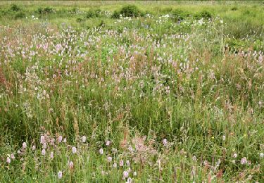
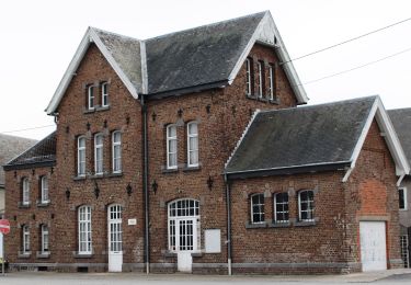
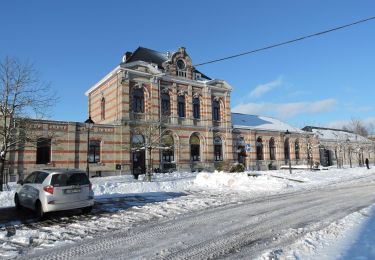
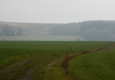
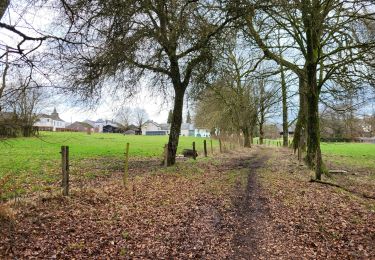
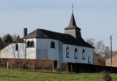
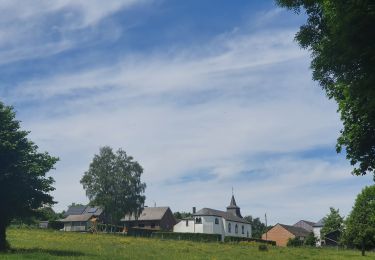
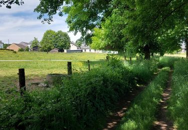
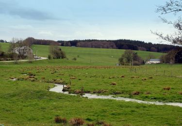
Trail Walking Bastogne - RB-Lu-27_Lutrebois - Photo

RB-Lu-27_Lutrebois

Randonnez sur et autour des GR ® wallons (Sentiers de Grande Randonnée). PRO

© OpenStreetMap contributors
Length
Length
31 km
Max alt
Max alt
551 m
Uphill gradient
Uphill gradient
563 m
Km-Effort
Km-Effort  
39 km
Min alt
Min alt
411 m
Downhill gradient
Downhill gradient
563 m
Boucle
Boucle
Yes
Creation date :
2019-08-07 07:20:29.486
Updated on :
2023-10-27 08:05:21.377

(0 Reviews)

Walking
Walking
8h27
Difficulty : Unknown

Scan this QR Code to open this trail in the SityTrail application

FREE GPS app for hiking

Logo SityTrail SityTrail
IGN / Geographical institutes

Download SityTrail from the App Store Download SityTrail from Google Play

Logo SityTrail SityTrail World

The world is yours!

Download SityTrail from the App Store Download SityTrail from Google Play Download SityTrail on Huawei AppGallery

About

Trail Walking of 31 km to be discovered at Wallonia, Luxembourg, Bastogne. This trail is proposed by GR Rando.

Description

Point de départ : l’église de Lutrebois.
Accès :
[voiture] Coordonnées GPS : 49° 57' 31.5" N ; 5° 43' 57.7" E.
Transports en commun [TEC] arrêt Lutrebois-Église. Nombreux arrêts à Bastogne

Cette RB campagnarde et forestière dessine d’agréables points de vue sur un plateau aux multiples ondulations, notamment par des lieux où se déroulèrent des évènements dramatiques durant l’hiver 1944-1945. De plus, elle vous permet de découvrir des lieux chargés d’histoire. Au départ de Lutrebois, deux boucles formant un 8 peuvent être parcourues en un ou deux jours. Boucle 1 ; Boucle 2

La région de Bastogne bénéficie d’une situation naturelle importante à l’est de l’Ardenne belge et sur la ligne de crête qui sépare les bassins versants du Rhin et de la Meuse. Elle chevauche trois bassins hydrographiques : le bassin des Deux Ourthes au nord, ceux de la Wiltz à l’est et de la Sûre au sud. Cette ligne constitue une des voies utilisées dès la préhistoire par les nomades  (qui étaient de grands randonneurs !) et reprise ensuite par les Romains. Le plateau de Bastogne, au climat le plus froid et le plus humide de Belgique, est balayé par les rudes vents d’Ardenne.

Photos

Points of interest

Point of interest Bastogne - RB-Lu-27-POI-01_Lutrebois - Photo
GR Rando
Point of interest Vaux-sur-Sûre - RB-Lu-27-POI-02_Voie romaine - Photo
GR Rando
Point of interest Vaux-sur-Sûre - RB-Lu-27-POI-03_Mémoire civile - Photo
GR Rando
Point of interest Fauvillers - RB-Lu-27-POI-04_Ermitage - Photo
GR Rando
Point of interest Bastogne - RB-Lu-27-POI-06_Mardasson - Photo
GR Rando
Point of interest Bastogne - RB-Lu-27-POI-07_Bastogne - Photo
GR Rando

Positioning

Country:
Belgium
Region :
Wallonia
Department/Province :
Luxembourg
Municipality :
Bastogne
Location:
Unknown
Start:(UTM)
695999 ; 5537625 (31U) N.

Trails nearby

Trail Walking Vaux-sur-Sûre - Hompré. Natura 2000, des sites qui valent le détour. Lx8 - Photo
Walking
GUIDE+

Walking

Easy
(5)
Vaux-sur-Sûre, Wallonia, Luxembourg, Belgium
8.2 km | 10.3 km-effort
2h 12min
Yes
Trail On foot Bastogne - Promenade de Sans-souci - Photo
On foot
GUIDE+

On foot

Easy
Bastogne, Wallonia, Luxembourg, Belgium
10 km | 11.7 km-effort
2h 40min
Yes
Trail Walking Bastogne - RB-Lu-27_Lutrebois_Boucle-2 - Photo
Walking
PRO

Walking

Very easy
Bastogne, Wallonia, Luxembourg, Belgium
21 km | 26 km-effort
5h 4min
Yes
Trail Walking Bastogne - RB-Lu-27_Lutrebois_Boucle-1 - Photo
Walking
PRO

Walking

Very easy
Bastogne, Wallonia, Luxembourg, Belgium
18.4 km | 23 km-effort
5h 3min
Yes
Trail Walking Bastogne - Lutrebois 150224 - Photo
Walking
guyernage25

Walking

Easy
Bastogne, Wallonia, Luxembourg, Belgium
16.4 km | 21 km-effort
3h 54min
Yes
Trail Walking Bastogne - rando lutrebois - Photo
Walking
GUIDE
japy54

Walking

Medium
Bastogne, Wallonia, Luxembourg, Belgium
17.2 km | 21 km-effort
3h 57min
Yes
Trail Walking Bastogne - rando lutrebois 2-06-2022 - Photo
Walking
GUIDE
japy54

Walking

Medium
Bastogne, Wallonia, Luxembourg, Belgium
18.5 km | 23 km-effort
4h 16min
Yes
Trail Walking Bastogne - Lutrebois 030622 - Photo
Walking
guyernage25

Walking

Medium
Bastogne, Wallonia, Luxembourg, Belgium
18.8 km | 23 km-effort
4h 40min
Yes
Trail On foot Vaux-sur-Sûre - Promenade des Écureuils - Photo
On foot
GUIDE+

On foot

Easy
Vaux-sur-Sûre, Wallonia, Luxembourg, Belgium
12.2 km | 15.3 km-effort
3h 28min
Yes


Close
My subscriptions