


8.5 km | 10.5 km-effort

User


FREE GPS app for hiking
 SityTrail
IGN / Geographical institutes
SityTrail World
The world is yours!
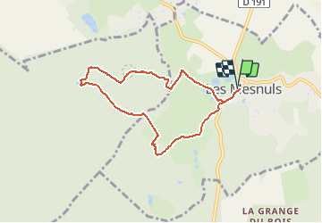
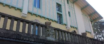
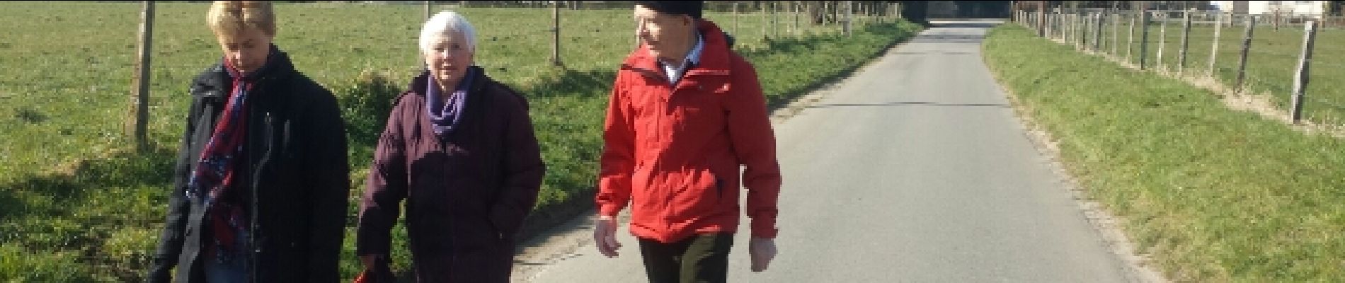
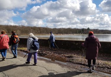
Trail Walking of 7 km to be discovered at Ile-de-France, Yvelines, Les Mesnuls. This trail is proposed by microb.
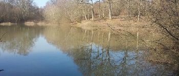
Les Mesnuls - Bois des Brûlins - Etang des Maurus - La Millière


Walking

Walking
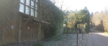
![Trail Walking Montfort-l'Amaury - Yvelines_[Rando_Journée]_Montfort=>Les Mesnuls=>Autour_de_Montfort - Tronçon 1 - Photo](https://media.geolcdn.com/t/375/260/9a77b4d0-afa4-42cb-beea-4a17fa8cb8c3.jpg&format=jpg&maxdim=2)
Walking
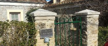
![Trail Walking Montfort-l'Amaury - Yvelines_[Rando_Journée]_Montfort=>Les Mesnuls=>Autour_de_Montfort - Tronçon 2 - Photo](https://media.geolcdn.com/t/375/260/3a031c20-1fc4-4232-b97e-93470db48f02.jpg&format=jpg&maxdim=2)
Walking
Walking
Walking
Walking
Other activity

Walking