

66 ST-FELIU-D'AVALL, CORNEILLA DE LA RIVIERE, promenade autour de la Têt

jeff66
User

Length
6.6 km

Max alt
88 m

Uphill gradient
32 m

Km-Effort
7 km

Min alt
69 m

Downhill gradient
31 m
Boucle
Yes
Creation date :
2016-03-11 00:00:00.0
Updated on :
2016-03-11 00:00:00.0
1h16
Difficulty : Easy

FREE GPS app for hiking
About
Trail Walking of 6.6 km to be discovered at Occitania, Pyrénées-Orientales, Saint-Féliu-d'Avall. This trail is proposed by jeff66.
Description
66 ST-FELIU-D'AVALL, la Têt, radier, mas Guiter, la serre Montèze, traverser la Rd614, continuer le long du canal,
COR'EILLA DE LA RIVIERE, ZAE LAS FAMADAS, rue L.Massé, cimetiere, rue du stade, espace Forca réal, promenade en berges de Tet
Positioning
Country:
France
Region :
Occitania
Department/Province :
Pyrénées-Orientales
Municipality :
Saint-Féliu-d'Avall
Location:
Unknown
Start:(Dec)
Start:(UTM)
479635 ; 4725708 (31T) N.
Comments
Trails nearby

Sentier Lambert Narach


On foot
Easy
Corneilla-la-Rivière,
Occitania,
Pyrénées-Orientales,
France

6.7 km | 11.4 km-effort
2h 35min
No

20240316 Corneilla la rivière


Walking
Medium
Corneilla-la-Rivière,
Occitania,
Pyrénées-Orientales,
France

19 km | 28 km-effort
4h 31min
Yes

Boucle St Feliu Amont -Ill sur Tête


Running
Medium
(1)
Saint-Féliu-d'Avall,
Occitania,
Pyrénées-Orientales,
France

23 km | 25 km-effort
2h 8min
No
66 VILLENEUVE-LA-RIVIÈRE, promenade entre parcs éoliens et vignobles CALCE


Walking
Easy
Baixas,
Occitania,
Pyrénées-Orientales,
France

8 km | 8.7 km-effort
1h 33min
Yes

66 CORNEILLA-LA-RIVIERE, promenade sur les hauteurs vallonnées, entre vignes ...


Walking
Medium
(1)
Pézilla-la-Rivière,
Occitania,
Pyrénées-Orientales,
France

8.3 km | 9.5 km-effort
1h 31min
Yes
66 LE SOLER - ST FELIU D'AVALL, promenade le long du Rau du SOLER et de la ri...


Walking
Easy
Le Soler,
Occitania,
Pyrénées-Orientales,
France

9.8 km | 10.4 km-effort
1h 39min
Yes
66 LE SOLER - TOULOUGES, village, jardins, vergers, canaux et la Basse


Walking
Medium
Le Soler,
Occitania,
Pyrénées-Orientales,
France

13.5 km | 14.3 km-effort
2h 15min
Yes
66 PEZILLA-la-Riviere - VILLENEUVE-la-riviere - LE SOLER - vallée de la TÊT


Walking
Medium
Pézilla-la-Rivière,
Occitania,
Pyrénées-Orientales,
France

15.9 km | 17.3 km-effort
2h 44min
Yes
THUIR 66 - chapelle VILARMILA - Vinyer Capella, Rei


Walking
Easy
(4)
Thuir,
Occitania,
Pyrénées-Orientales,
France

10.1 km | 10.7 km-effort
1h 39min
Yes


 SityTrail


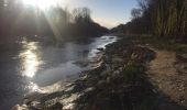
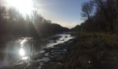
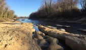
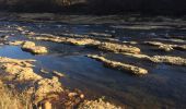
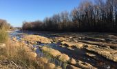
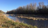
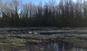
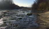
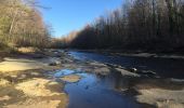
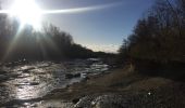
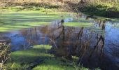


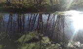


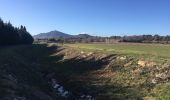
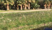
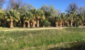
Dommage que cette gentille balade se termine dans la gadoue des berges de la Têt, sans possibilité de l'éviter. Vraiment pas facile et cela mériterait d'être signalé. Peut-être qu'en plein été, tout cela est sec.