


10 km | 14.7 km-effort


User


FREE GPS app for hiking
 SityTrail
IGN / Geographical institutes
SityTrail World
The world is yours!
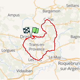
Trail Cycle of 53 km to be discovered at Provence-Alpes-Côte d'Azur, Var, Draguignan. This trail is proposed by Sugg.
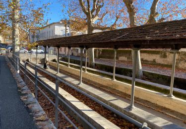
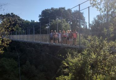
Home, route de Grasse Figanières, Callas, Pennafort, Maurette, La motte, Ste Roseline, Les Arcs, Les Nouradons, col de l'ange et terminus.
22kmh, récup des 2 marches de début de semaine.
Walking
Walking

Walking
Walking

Walking
Walking
Walking
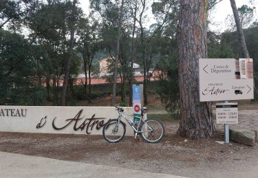
Mountain bike
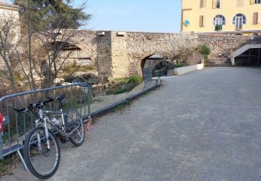
Mountain bike