


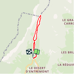


12.7 km | 23 km-effort


User


FREE GPS app for hiking
 SityTrail
IGN / Geographical institutes
SityTrail World
The world is yours!
Trail Snowshoes of 4.6 km to be discovered at Auvergne-Rhône-Alpes, Savoy, Entremont-le-Vieux. This trail is proposed by peps73.
samedi 20 février 2016
départ du foyer de fond à 9h45 ... sans les raquettes (neige = maxi 10 cm !!!)
Ciel voilé, 1°, très peu de monde malgré les vacances.
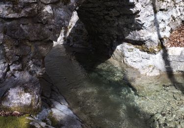
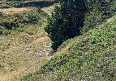
Nombreux chamois sur les contreforts de l'Outheran au niveau du col du Mollard
Walking

Walking

Walking

Road bike
Walking

Walking

Snowshoes
Walking

Walking