


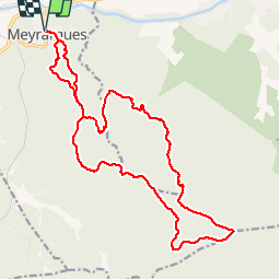

14 km | 20 km-effort


User


FREE GPS app for hiking
 SityTrail
IGN / Geographical institutes
SityTrail World
The world is yours!
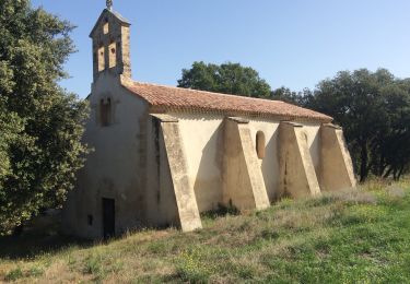
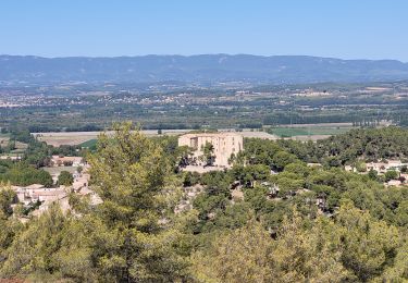
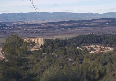
Trail Running of 22 km to be discovered at Provence-Alpes-Côte d'Azur, Bouches-du-Rhône, Meyrargues. This trail is proposed by petitprince.
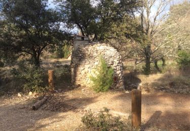
Single foulée St Claude , vallon du petit , camp chinois , vallon de Montaubon , vallon de Loubatas , Vallon de Corneroi , les 4 termes , jas du Ligoures , le pas de l'Étroit
Walking

Walking
Walking
Walking
Walking
Walking
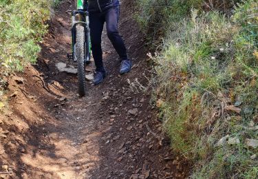
Mountain bike
Walking
Walking