


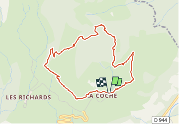

7.4 km | 12.1 km-effort


User


FREE GPS app for hiking
 SityTrail
IGN / Geographical institutes
SityTrail World
The world is yours!
Trail Snowshoes of 5.3 km to be discovered at Provence-Alpes-Côte d'Azur, Hautes-Alpes, Saint-Jean-Saint-Nicolas. This trail is proposed by ARPF.
Boucle facile (formation FFRP)

Walking

Walking

On foot

Walking

Walking

Touring skiing

Touring skiing
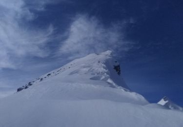
Touring skiing
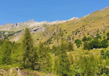
Walking