


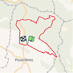


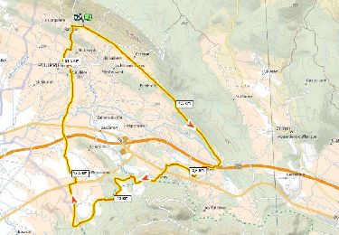
12.3 km | 17.3 km-effort


User


FREE GPS app for hiking
 SityTrail
IGN / Geographical institutes
SityTrail World
The world is yours!
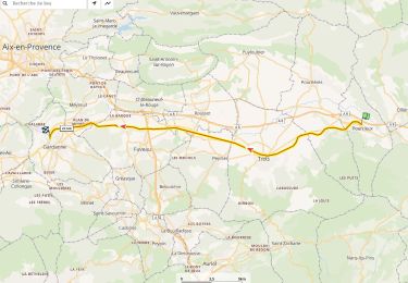
Trail Mountain bike of 17.1 km to be discovered at Provence-Alpes-Côte d'Azur, Var, Pourrières. This trail is proposed by Coqorico.
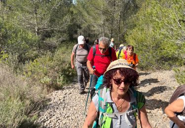
Attention ! La première montée est raide et difficile.
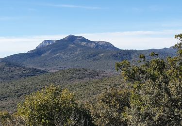
Grande partie très roulante pour finir la boucle agréablement.
Par rapport à la version courte, ajout de dénivelé raide mais sans difficulté technique.
Walking
Walking
Walking
Mountain bike
Walking

Walking

sport
Mountain bike
Walking