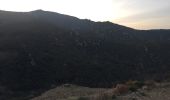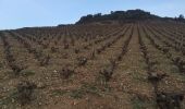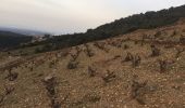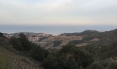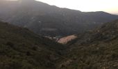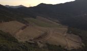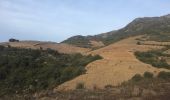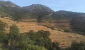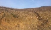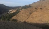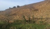

66 LE RIMBAU, entre Madeloc et Massane, promenade dans le vignoble

jeff66
User

Length
10.4 km

Max alt
416 m

Uphill gradient
340 m

Km-Effort
14.9 km

Min alt
135 m

Downhill gradient
340 m
Boucle
Yes
Creation date :
2016-03-09 00:00:00.0
Updated on :
2016-03-09 00:00:00.0
2h08
Difficulty : Medium

FREE GPS app for hiking
About
Trail Walking of 10.4 km to be discovered at Occitania, Pyrénées-Orientales, Argelès-sur-Mer. This trail is proposed by jeff66.
Description
66 LE RIMBAU, mas de l'Om, Cami Ram, vignoble de l'abbaye de Valbonne, radier, el Falguerar, mas Torreneules, point D'eau DFCI citerne, coll de vallauria, collada d'en Jaumet, font de les Alones, col de la Serra, place des platanes, Cami Ral
Positioning
Country:
France
Region :
Occitania
Department/Province :
Pyrénées-Orientales
Municipality :
Argelès-sur-Mer
Location:
Unknown
Start:(Dec)
Start:(UTM)
504569 ; 4705496 (31T) N.
Comments
Trails nearby

la dujardin


Mountain bike
Very easy
(5)
Argelès-sur-Mer,
Occitania,
Pyrénées-Orientales,
France

11.6 km | 18.7 km-effort
1h 11min
No
Le sentier des douaniers (Port-Vendres)


Walking
Medium
(5)
Port-Vendres,
Occitania,
Pyrénées-Orientales,
France

14.5 km | 19.1 km-effort
4h 0min
Yes
Collioure-le racou


Walking
Medium
(2)
Collioure,
Occitania,
Pyrénées-Orientales,
France

7.2 km | 9.3 km-effort
2h 1min
Yes
66 ARGELES SUR MER - mas Christine, promenade dans les Albères, par les piste...


Walking
Medium
(2)
Argelès-sur-Mer,
Occitania,
Pyrénées-Orientales,
France

7.4 km | 9.8 km-effort
1h 28min
Yes
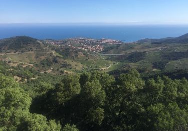
66 COLLIOURE - les balcons de Madeloc - circuit de la tour et des fortificati...


Walking
Difficult
(1)
Collioure,
Occitania,
Pyrénées-Orientales,
France

9.3 km | 14.9 km-effort
2h 4min
Yes

ARGELES SUR MER 66 - VALMY - tour de la Massane - les Colomates


Walking
Difficult
(2)
Argelès-sur-Mer,
Occitania,
Pyrénées-Orientales,
France

22 km | 34 km-effort
5h 35min
Yes
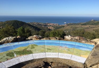
COLLIOURE 66 - Ermitage ND de consolation - tour MADELOC


Walking
Difficult
(4)
Collioure,
Occitania,
Pyrénées-Orientales,
France

14.7 km | 23 km-effort
3h 41min
Yes
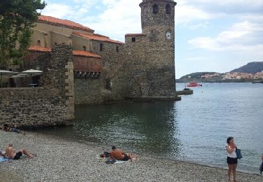
Racou- Colioure 06-2014


Walking
Very easy
(1)
Argelès-sur-Mer,
Occitania,
Pyrénées-Orientales,
France

5 km | 6.5 km-effort
1h 36min
No
port vendres


Walking
Very easy
(1)
Port-Vendres,
Occitania,
Pyrénées-Orientales,
France

10.9 km | 14.8 km-effort
3h 42min
Yes


 SityTrail


