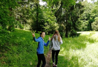
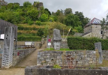
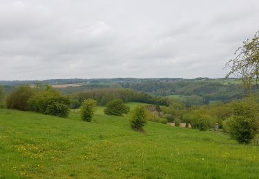
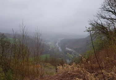
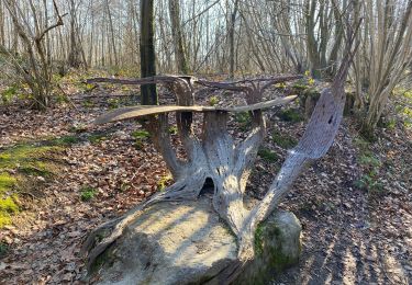
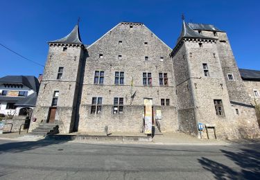
Trail Walking Anthisnes - ANTHISNES - Boucle de Tolumont - Photo

ANTHISNES - Boucle de Tolumont

© OpenStreetMap contributors
Length
Length
13.3 km
Max alt
Max alt
279 m
Uphill gradient
Uphill gradient
317 m
Km-Effort
Km-Effort  
17.6 km
Min alt
Min alt
182 m
Downhill gradient
Downhill gradient
319 m
Boucle
Boucle
Yes
Signpost
Signpost
Creation date :
2015-08-17 00:00:00.0
Updated on :
2015-08-17 00:00:00.0

(1 Reviews)

Walking
Walking
3h42
Difficulty : Medium

Scan this QR Code to open this trail in the SityTrail application

FREE GPS app for hiking

Logo SityTrail SityTrail

IGN / Geographical institutes

Download SityTrail from the App Store Download SityTrail from Google Play

Logo SityTrail SityTrail World

The world is yours!

Download SityTrail from the App Store Download SityTrail from Google Play Download SityTrail on Huawei AppGallery

About

Trail Walking of 13.3 km to be discovered at Wallonia, Liège, Anthisnes. This trail is proposed by henrineupre.

Description

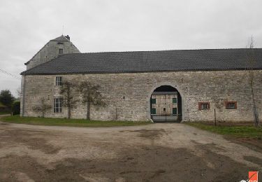
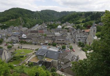
Cette promenade s’articule autour du massif forestier formé par les bois d’Ouhar, de Vien et de Tolumont et s’intéresse aux belles demeures des villages d’Anthisnes, La Rock et Mont (Comblain). A ne pas manquer: l'Avouerie d’Anthisnes, l'Abbaye St-Laurent, la ferme d’Omalius, le château d’Ouhar, la ferme du Raideux etc. qui sont les hauts lieux historiques de cet itinéraire. La sablière d’Arbois et son plan d’eau retiendront aussi l’attention des promeneurs amoureux de cadres naturels insolites.

Elevation profile

Photos

Points of interest

Point of interest Anthisnes - Avouerie d'Anthisnes - Photo
henrineupre
Point of interest Anthisnes - Ferme d'Omalius - Photo
henrineupre
ANTHISNES 
Point of interest Anthisnes - Ferme Saint-Laurent - Photo
henrineupre
Point of interest Anthisnes - Cloches de l'Abbaye d'Anthisnes - Photo
henrineupre
Point of interest Anthisnes - Ancienne église Saint Maximin - Photo
henrineupre
Point of interest Anthisnes - Borne-frontière à l'Avouerie d'Anthisnes - Photo
henrineupre
Point of interest Anthisnes - Ferme de Tolumont - Photo
henrineupre

Positioning

Country:
Belgium
Region :
Wallonia
Department/Province :
Liège
Municipality :
Anthisnes
Location:
Anthisnes
Start:(UTM)
679096 ; 5595022 (31U) N.

Comments

Please log in to post a review or rate the element


Trails nearby

Trail Walking Esneux - Esneux bois du mary - Photo
Walking
GUIDE
Alfredy

Walking

Easy
(5)
Esneux, Wallonia, Liège, Belgium
4.4 km | 5.9 km-effort
1h 11min
Yes
Trail Walking Anthisnes - RB-Lg-18_Tavier - Photo
Walking
PRO

Walking

Very difficult
(10)
Anthisnes, Wallonia, Liège, Belgium
22 km | 28 km-effort
6h 19min
Yes
Trail Walking Comblain-au-Pont - RB-Lg-11 - Sur les crêtes de l’Amblève - Photo
Walking
PRO

Walking

Difficult
(15)
Comblain-au-Pont, Wallonia, Liège, Belgium
22 km | 30 km-effort
5h 45min
Yes
Trail Walking Comblain-au-Pont - RF-Lg-04_Comblain-au-Pont_Grande-boucle - Photo
Walking
PRO

Walking

Very easy
(7)
Comblain-au-Pont, Wallonia, Liège, Belgium
12.6 km | 16.5 km-effort
3h 22min
Yes
Trail Walking Comblain-au-Pont - 2021-06-30_15h22m22_Cirkwi-Autour_de_Comblain-au-Pont_-_Promenade_3___Four_à_chaux_-_Mont_-_Poulseur_-_Canal_de_l_Ourthe_-_Rivage - Photo
Walking
GUIDE
mumu.larandonneuse

Walking

Easy
(2)
Comblain-au-Pont, Wallonia, Liège, Belgium
12.7 km | 15.3 km-effort
3h 28min
Yes
Trail Walking Comblain-au-Pont - 2021-05-13_19h25m39_Cirkwi-Autour_de_Comblain-au-Pont_-_Promenade_10___Thier_Pirard_-_Hoyemont_-_Comblinay_-_Comblain-la-Tour_-_Comblain-au-Pont - Photo
Walking
GUIDE
mumu.larandonneuse

Walking

Medium
(3)
Comblain-au-Pont, Wallonia, Liège, Belgium
14 km | 18.1 km-effort
4h 6min
Yes
Trail Walking Comblain-au-Pont - 2021-04-04_15h31m49_Cirkwi-Autour_de_Comblain-au-Pont_-_Promenade_9___Grotte_-_Raideux_-_Anthisnes_-_Les_Stepennes_-_Géromont - Photo
Walking
GUIDE
mumu.larandonneuse

Walking

Easy
(2)
Comblain-au-Pont, Wallonia, Liège, Belgium
11.2 km | 14.3 km-effort
3h 15min
Yes
Trail Walking Anthisnes - Anthines - AS03 - Boucle de Tolumont - Losange Bleu - Photo
Walking
GUIDE
Alfredy

Walking

Medium
(2)
Anthisnes, Wallonia, Liège, Belgium
13.9 km | 18.2 km-effort
2h 56min
Yes
Trail On foot Anthisnes - AS03 Boucle de Tolumont - Photo
On foot
GUIDE+

On foot

Medium
(1)
Anthisnes, Wallonia, Liège, Belgium
13.4 km | 17.6 km-effort
3h 20min
Yes


Close
My subscriptions