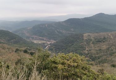
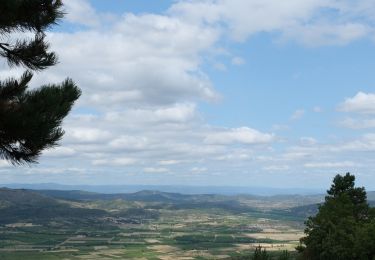
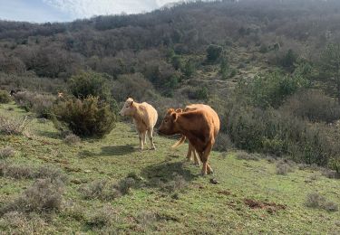
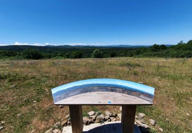
Trail Walking Mayronnes - Mayronnes - Photo
© OpenStreetMap contributors
Length
Length
6.2 km
Max alt
Max alt
384 m
Uphill gradient
Uphill gradient
217 m
Km-Effort
Km-Effort  
9.1 km
Min alt
Min alt
254 m
Downhill gradient
Downhill gradient
201 m
Boucle
Boucle
Yes
Creation date :
2016-01-13 00:00:00.0
Updated on :
2016-01-13 00:00:00.0

(1 Reviews)

Walking
Walking
1h58
Difficulty : Easy

Scan this QR Code to open this trail in the SityTrail application

FREE GPS app for hiking

Logo SityTrail SityTrail

IGN / Geographical institutes

Download SityTrail from the App Store Download SityTrail from Google Play

Logo SityTrail SityTrail World

The world is yours!

Download SityTrail from the App Store Download SityTrail from Google Play Download SityTrail on Huawei AppGallery

About

Trail Walking of 6.2 km to be discovered at Occitania, Aude, Mayronnes. This trail is proposed by philou6351.

Elevation profile

Positioning

Country:
France
Region :
Occitania
Department/Province :
Aude
Municipality :
Mayronnes
Location:
Unknown
Start:(UTM)
461626 ; 4767355 (31T) N.

Comments

Please log in to post a review or rate the element


Rando intéressante par la succession de sculptures implantées tout le long du circuit. Le tracé GPS ne va pas jusqu’au bout du parcours, ce n’est pas trop grave car on distingue le parking depuis un petit moment, mais celà fausse un peu les relevés (Km, Temps,...). Par contre, l’aller-retour vers le col de la croix n’apporte rien à la randonnée sinon des kilomètres. Je conseille donc de suivre le tracé balisé du sentier sculpturel.


Trails nearby

Trail Walking Labastide-en-Val - Labastide en val- Plateau Lacamp - Photo
Walking
GUIDE
Ada11

Walking

Medium
Labastide-en-Val, Occitania, Aude, France
20 km | 28 km-effort
5h 4min
Yes
Trail Walking Labastide-en-Val - Le chemin des panoramas à Labastide-en-Val (variante) - Photo
Walking
PI11

Walking

Medium
Labastide-en-Val, Occitania, Aude, France
16.7 km | 24 km-effort
5h 0min
Yes
Trail Walking Taurize - Taurize - Photo
Walking
Christophe Ferreres

Walking

Difficult
Taurize, Occitania, Aude, France
10.4 km | 15.4 km-effort
3h 20min
Yes
Trail Nordic walking Labastide-en-Val - Michel_Picard_2022-05-29_09-51-49 - Photo
Nordic walking
mipi31

Nordic walking

Difficult
Labastide-en-Val, Occitania, Aude, France
18.7 km | 26 km-effort
Unknown
Yes
Trail Walking Taurize - le roc du Causse - Photo
Walking
Mascart

Walking

Medium
Taurize, Occitania, Aude, France
11.5 km | 16.5 km-effort
3h 52min
Yes
Trail Walking Lagrasse - ND du Carla - Photo
Walking
Mascart

Walking

Medium
Lagrasse, Occitania, Aude, France
9.7 km | 13.6 km-effort
4h 28min
No
Trail Walking Taurize - Taurize - Photo
Walking
Villatet

Walking

Medium
Taurize, Occitania, Aude, France
11.7 km | 16.9 km-effort
3h 24min
Yes
Trail Walking Taurize - Taurize et le Pech Taurillou - Photo
Walking
SoleilMoussanais

Walking

Medium
Taurize, Occitania, Aude, France
6.3 km | 9.4 km-effort
18h 50min
Yes
Trail Walking Taurize - taurize - Photo
Walking
Mascart

Walking

Medium
Taurize, Occitania, Aude, France
9.2 km | 14.1 km-effort
4h 22min
No


Close
My subscriptions