


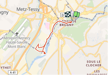

32 km | 52 km-effort


User


FREE GPS app for hiking
 SityTrail
IGN / Geographical institutes
SityTrail World
The world is yours!
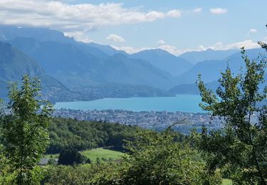
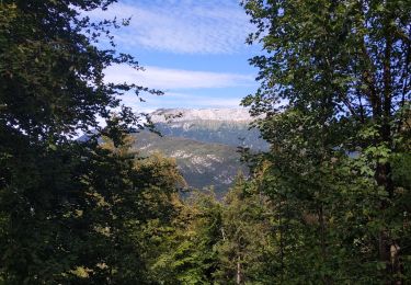
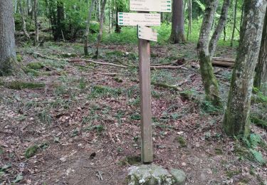
Trail Walking of 6 km to be discovered at Auvergne-Rhône-Alpes, Upper Savoy, Annecy. This trail is proposed by COMAN.
depuis Argonay promenade agréable le long du Fier avec nombreuses variantes possible.
Possibilité de prolonger jusqu'à la zone industrielle de Meythet, Parcours sportifs et aménagements sportifs CE Marcel Dassault

Cycle
Mountain bike

Hybrid bike

Walking

Walking
Walking
Walking
Walking

Walking