


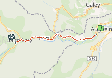

46 km | 67 km-effort


User


FREE GPS app for hiking
 SityTrail
IGN / Geographical institutes
SityTrail World
The world is yours!
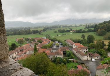
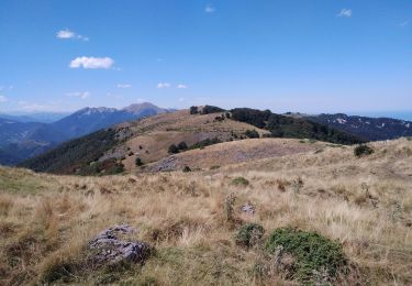
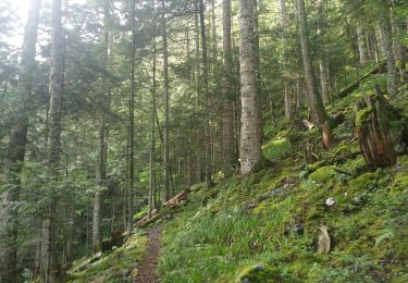
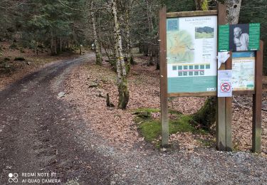
Trail Walking of 2.2 km to be discovered at Occitania, Ariège, Augirein. This trail is proposed by martinromofrancis.
sur route mais sentier parallèle en saison sèche .


Walking
Walking
Walking
Walking
Walking
Walking

Mountain bike

Mountain bike
Mountain bike