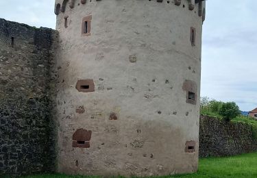
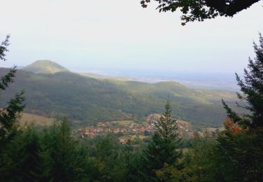
12 km | 17.2 km-effort
saint-hippolyte Rocher du sanglier
doclocjl
User
Length
4.6 km
Max alt
398 m
Uphill gradient
146 m
Km-Effort
6.5 km
Min alt
251 m
Downhill gradient
145 m
Boucle
Yes
Creation date :
2015-12-27 00:00:00.0
Updated on :
2015-12-27 00:00:00.0
2h09
Difficulty : Very easy
FREE GPS app for hiking
About
Trail Other activity of 4.6 km to be discovered at Grand Est, Haut-Rhin, Saint-Hippolyte. This trail is proposed by doclocjl.
Description
petit tour vignes et forêt
Positioning
Country:
France
Region :
Grand Est
Department/Province :
Haut-Rhin
Municipality :
Saint-Hippolyte
Location:
Unknown
Start:(Dec)
Start:(UTM)
378633 ; 5343437 (32U) N.
Comments
Trails nearby
Le Hahnenberg et les balcons Sélestat
Walking
Medium
(2)
Châtenois,
Grand Est,
Bas-Rhin,
France
4h 29min
Yes
Ribeauvillé Riquewihr
Mountain bike
Medium
(1)
Ribeauvillé,
Grand Est,
Haut-Rhin,
France
19.3 km | 24 km-effort
1h 30min
Yes
suuntoapp-Hiking-2023-10-15T07-53-44Z
Walking
Medium
Kintzheim,
Grand Est,
Bas-Rhin,
France
18.5 km | 28 km-effort
6h 16min
Yes
St hippolyte ht koenigsbourg
Walking
Medium
(2)
Saint-Hippolyte,
Grand Est,
Haut-Rhin,
France
12 km | 18.7 km-effort
3h 27min
Yes
St-Hippolyte - Rorschwihr - Grasberg - Bergheim - Reichenberg - Rodern
Walking
Medium
Saint-Hippolyte,
Grand Est,
Haut-Rhin,
France
17.3 km | 22 km-effort
4h 28min
Yes
1 ère sortie
Mountain bike
Easy
Bergheim,
Grand Est,
Haut-Rhin,
France
12.6 km | 19.1 km-effort
1h 53min
Yes
rorschwihr ac3
Walking
Medium
Rorschwihr,
Grand Est,
Haut-Rhin,
France
6.8 km | 9.2 km-effort
3h 54min
Yes
Taennchel par Thannenkirch
Walking
Medium
(2)
Thannenkirch,
Grand Est,
Haut-Rhin,
France
15.5 km | 23 km-effort
5h 19min
Yes