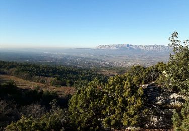
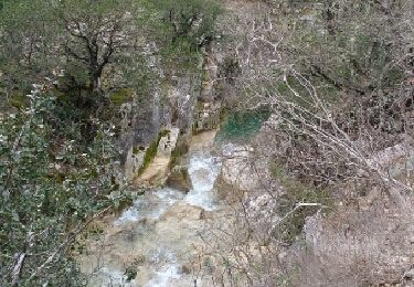
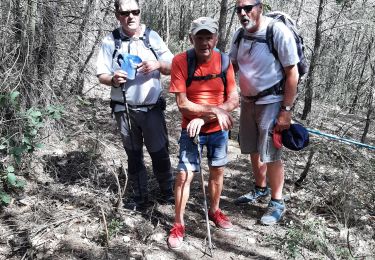
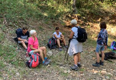
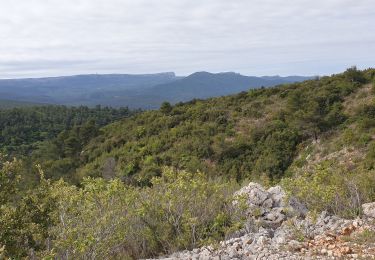
Trail Walking Trets - Mont Olympe à l'envers - Photo
© OpenStreetMap contributors
Length
Length
16 km
Max alt
Max alt
810 m
Uphill gradient
Uphill gradient
560 m
Km-Effort
Km-Effort  
23 km
Min alt
Min alt
480 m
Downhill gradient
Downhill gradient
558 m
Boucle
Boucle
Yes
Creation date :
2015-12-21 00:00:00.0
Updated on :
2015-12-21 00:00:00.0

(0 Reviews)

Walking
Walking
4h54
Difficulty : Difficult

Scan this QR Code to open this trail in the SityTrail application

FREE GPS app for hiking

Logo SityTrail SityTrail

IGN / Geographical institutes

Download SityTrail from the App Store Download SityTrail from Google Play

Logo SityTrail SityTrail World

The world is yours!

Download SityTrail from the App Store Download SityTrail from Google Play Download SityTrail on Huawei AppGallery

About

Trail Walking of 16 km to be discovered at Provence-Alpes-Côte d'Azur, Bouches-du-Rhône, Trets. This trail is proposed by motardes04.

Description

ATTENTION
Trace à ne surtout pas suivre !
Les sentiers ont disparu, c'est une séquence sanglier au milieu des broussailles que nous avons réalisée !
Si vous souhaitez faire une boucle :
Monter du point 582 vers le Mont Olympe (nous n'avons pas pu à cause d'une battue), puis Rocher de Onze Heures, redescendre par la piste du Vallon de Vaoulongue SANS QUITTER CETTE PISTE JUSQU'AU POINT COTE 539, et suivre la piste qui ramène à la Pouilleuse et à la Chapelle.

Elevation profile

Positioning

Country:
France
Region :
Provence-Alpes-Côte d'Azur
Department/Province :
Bouches-du-Rhône
Municipality :
Trets
Location:
Unknown
Start:(UTM)
718954 ; 4810849 (31T) N.

Trails nearby

Trail Mountain bike Trets - les contreforts du mont Olympe - Photo
Mountain bike
GUIDE
amiral13

Mountain bike

Easy
(1)
Trets, Provence-Alpes-Côte d'Azur, Bouches-du-Rhône, France
11.8 km | 15.5 km-effort
2h 52min
Yes
Trail Walking Saint-Zacharie - Source de l'Huveaune  - Photo
Walking
GUIDE
lhomme.ph

Walking

Easy
Saint-Zacharie, Provence-Alpes-Côte d'Azur, Var, France
15.2 km | 19.7 km-effort
4h 24min
Yes
Trail Walking Trets - Sentier des vignes Trets - Photo
Walking
Elidabeth

Walking

Medium
(1)
Trets, Provence-Alpes-Côte d'Azur, Bouches-du-Rhône, France
13.2 km | 16.9 km-effort
2h 55min
Yes
Trail Walking Trets - SityTrail - mont olympe + crête  - Photo
Walking
frizou83

Walking

Very difficult
(1)
Trets, Provence-Alpes-Côte d'Azur, Bouches-du-Rhône, France
13 km | 21 km-effort
4h 44min
Yes
Trail Walking Trets - Kirbon 2 juin 2022 - Photo
Walking
patzierk

Walking

Difficult
Trets, Provence-Alpes-Côte d'Azur, Bouches-du-Rhône, France
11 km | 16.7 km-effort
7h 41min
Yes
Trail Walking Trets - Kirbon  - Photo
Walking
gaggiroland

Walking

Medium
Trets, Provence-Alpes-Côte d'Azur, Bouches-du-Rhône, France
10.6 km | 14.9 km-effort
3h 30min
No
Trail Walking Saint-Zacharie - St zacharie - Photo
Walking
gaggiroland

Walking

Difficult
Saint-Zacharie, Provence-Alpes-Côte d'Azur, Var, France
8.7 km | 12.4 km-effort
2h 49min
Yes
Trail Mountain bike Saint-Zacharie - St zacharie  - la Foux - la Jolie - Ermitage de st Jean du puy  - le Regagnas - Le moulin de redon - Photo
Mountain bike
marsupio

Mountain bike

Difficult
Saint-Zacharie, Provence-Alpes-Côte d'Azur, Var, France
26 km | 36 km-effort
2h 42min
Yes
Trail Walking Saint-Zacharie - st zacharie - source de l'huveaune - Taurelle - Photo
Walking
marsupio

Walking

Medium
Saint-Zacharie, Provence-Alpes-Côte d'Azur, Var, France
15.5 km | 18.9 km-effort
4h 30min
Yes


Close
My subscriptions