


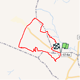


8 km | 8.8 km-effort


User


FREE GPS app for hiking
 SityTrail
IGN / Geographical institutes
SityTrail World
The world is yours!
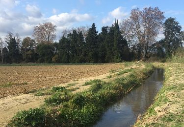
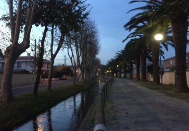
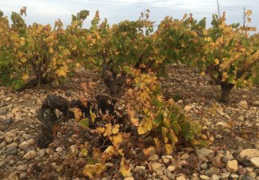
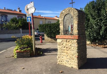
Trail Walking of 8 km to be discovered at Occitania, Pyrénées-Orientales, Baixas. This trail is proposed by jeff66.
66 VILLENEUVE-LA-RIVIÈRE, parking à proximité de RD616a, parc éolien, clot Dell Manadell, la Padrère, Manadell, planal del Fenouilla, centre de valorisation des déchets de CALCE, Couaxe, L'om, la Fossa, rejoindre la RD616a


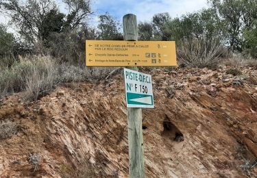
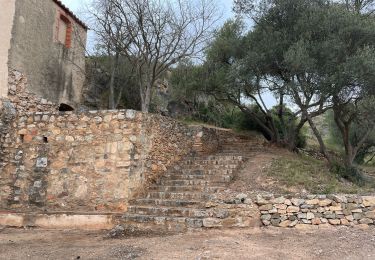
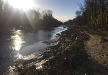
24 photos in total. Please click on a photo to see them all in the gallery.

Walking
Walking
Walking
Walking
Walking
Walking
Walking
Walking

Walking