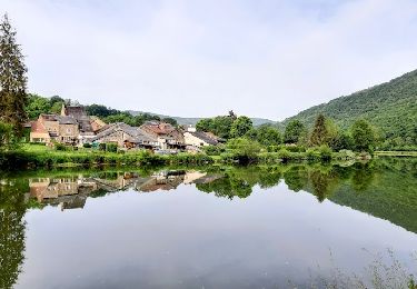
15.3 km | 21 km-effort
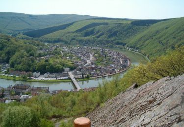
De la Meuse vers la Semoy par le Roc la Tour et la Roche aux Corpias
Desrumaux
User GUIDE
Length
19 km
Max alt
422 m
Uphill gradient
653 m
Km-Effort
28 km
Min alt
135 m
Downhill gradient
654 m
Boucle
Yes
Creation date :
2014-12-10 00:00:00.0
Updated on :
2014-12-10 00:00:00.0
5h20
Difficulty : Difficult
FREE GPS app for hiking
About
Trail Walking of 19 km to be discovered at Grand Est, Ardennes, Monthermé. This trail is proposed by Desrumaux.
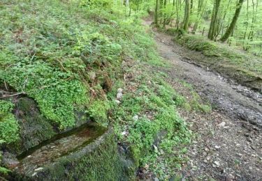
Description
Details de la rando sur TraceGPS.com http://www.tracegps.com/fr/parcours/circuit3031.htm
Positioning
Country:
France
Region :
Grand Est
Department/Province :
Ardennes
Municipality :
Monthermé
Location:
Unknown
Start:(Dec)
Start:(UTM)
624883 ; 5527327 (31U) N.
Comments
Trails nearby
De Monthermé à Bogny sur Meuse par les sentiers de crêtes
Walking
Difficult
(2)
Monthermé,
Grand Est,
Ardennes,
France
14.6 km | 23 km-effort
5h 0min
Yes
La promenade du Liry et des Quatre Fils Aymon
Walking
Medium
(1)
Bogny-sur-Meuse,
Grand Est,
Ardennes,
France
11.4 km | 16.9 km-effort
3h 0min
Yes
Laifour-Montherme
Walking
Difficult
(1)
Revin,
Grand Est,
Ardennes,
France
21 km | 30 km-effort
8h 8min
No
La roche 7H Monthermé
Walking
Medium
Monthermé,
Grand Est,
Ardennes,
France
5.9 km | 9 km-effort
2h 24min
Yes
les woiries mercredi
Walking
Medium
Monthermé,
Grand Est,
Ardennes,
France
9.6 km | 12.7 km-effort
3h 37min
No
Monthermé 22,7 km tour des rochers
Walking
Difficult
Monthermé,
Grand Est,
Ardennes,
France
23 km | 36 km-effort
8h 20min
Yes
de Layfour à Anchamps
Walking
Very difficult
Revin,
Grand Est,
Ardennes,
France
15.2 km | 20 km-effort
4h 1min
No