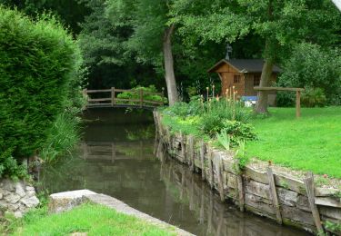
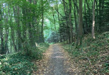
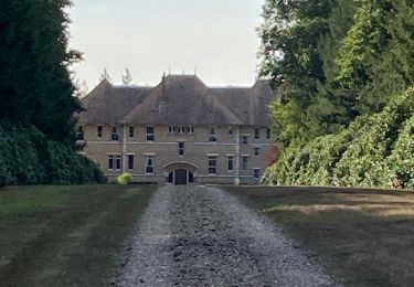
11.7 km | 14.7 km-effort
platiton
thle
User
Length
22 km
Max alt
149 m
Uphill gradient
457 m
Km-Effort
28 km
Min alt
42 m
Downhill gradient
457 m
Boucle
Yes
Creation date :
2015-12-12 00:00:00.0
Updated on :
2015-12-12 00:00:00.0
5m
Difficulty : Medium
FREE GPS app for hiking
About
Trail Other activity of 22 km to be discovered at Normandy, Eure, Sacquenville. This trail is proposed by thle.
Description
Plateau et Vallée de l'Iton
Positioning
Country:
France
Region :
Normandy
Department/Province :
Eure
Municipality :
Sacquenville
Location:
Unknown
Start:(Dec)
Start:(UTM)
359838 ; 5439551 (31U) N.
Comments
Trails nearby
Autrebosc Brosville
Walking
Very easy
(1)
Sacquenville,
Normandy,
Eure,
France
9.1 km | 11.4 km-effort
1h 30min
No
Autour de Brosville
Mountain bike
Difficult
Brosville,
Normandy,
Eure,
France
32 km | 39 km-effort
3h 0min
Yes
Vallée de l’Iton 1
Walking
Medium
Tourneville,
Normandy,
Eure,
France
10.8 km | 14.6 km-effort
3h 3min
Yes
BROSVILLE 2 RACCORCI
Walking
Difficult
Brosville,
Normandy,
Eure,
France
13.3 km | 16.4 km-effort
3h 43min
Yes
BROSVILLE
Walking
Very difficult
Brosville,
Normandy,
Eure,
France
14.9 km | 19.2 km-effort
4h 21min
Yes
Houetteville
Walking
Medium
Houetteville,
Normandy,
Eure,
France
10.5 km | 13.8 km-effort
2h 54min
No
Aviron plateau Hondouville vallée d’Eure côte de Garambouvill
Road bike
Aviron,
Normandy,
Eure,
France
74 km | 83 km-effort
5h 10min
Yes
lavacherie
Walking
Very easy
La Vacherie,
Normandy,
Eure,
France
6.6 km | 8.4 km-effort
2h 31min
Yes