


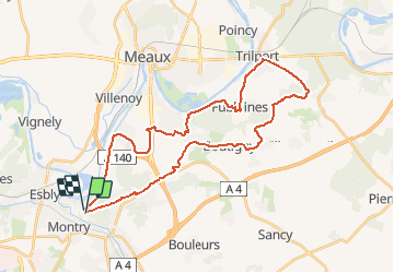


33 km | 37 km-effort

User


FREE GPS app for hiking
 SityTrail
IGN / Geographical institutes
SityTrail World
The world is yours!
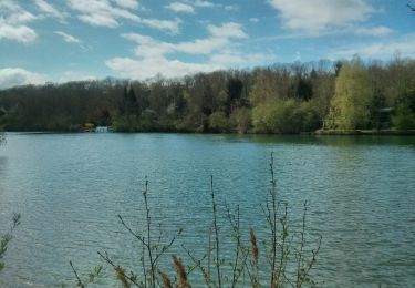
Trail Mountain bike of 34 km to be discovered at Ile-de-France, Seine-et-Marne, Condé-Sainte-Libiaire. This trail is proposed by destras.
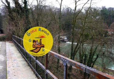
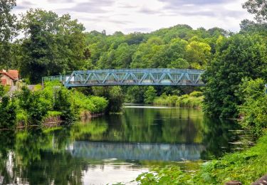
Attention, si vous suivez la Dhuys, il faut aimer la boue ! Sinon attendre 1 mois de grand beau temps. Retour par Trilport, Fublaines,Nanteuil-lès-Meaux

Walking
Mountain bike
Walking

On foot
Walking
Walking

Walking
Walking
Walking