


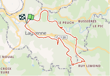


19.2 km | 26 km-effort


User


FREE GPS app for hiking
 SityTrail
IGN / Geographical institutes
SityTrail World
The world is yours!
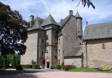
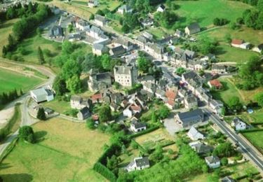
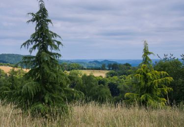
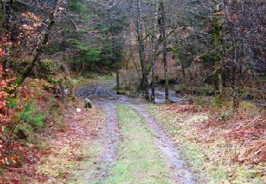
Trail Walking of 9.5 km to be discovered at New Aquitaine, Corrèze, Laguenne-sur-Avalouze. This trail is proposed by houbart.
Ce circuit emprunte l'ancienne voie du Paris Orléans Corrèze et contourne le Puy du Jour, longeant les rivières Saint-Bonnette et Ganette, pour terminer dans le bourg.
Walking

Walking
Walking
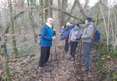
Walking

Walking

Mountain bike
Walking
Mountain bike

Walking