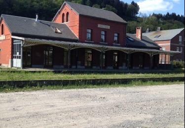
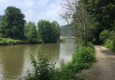
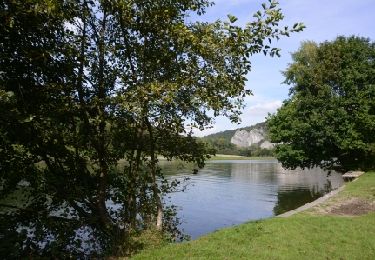
Trail Walking Onhaye - De Gérin à Anthée par le village de Maurenne - Photo

De Gérin à Anthée par le village de Maurenne

 Desrumaux
Desrumaux

User GUIDE

© OpenStreetMap contributors
Length
Length
18.1 km
Max alt
Max alt
274 m
Uphill gradient
Uphill gradient
336 m
Km-Effort
Km-Effort  
23 km
Min alt
Min alt
161 m
Downhill gradient
Downhill gradient
337 m
Boucle
Boucle
Yes
Creation date :
2014-12-10 00:00:00.0
Updated on :
2014-12-10 00:00:00.0

(1 Reviews)

Walking
Walking
4h10
Difficulty : Medium

Scan this QR Code to open this trail in the SityTrail application

FREE GPS app for hiking

Logo SityTrail SityTrail

IGN / Geographical institutes

Download SityTrail from the App Store Download SityTrail from Google Play

Logo SityTrail SityTrail World

The world is yours!

Download SityTrail from the App Store Download SityTrail from Google Play Download SityTrail on Huawei AppGallery

About

Trail Walking of 18.1 km to be discovered at Wallonia, Namur, Onhaye. This trail is proposed by Desrumaux.

Description

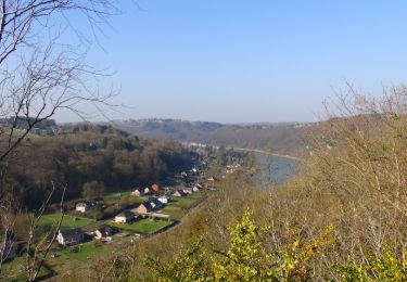
ANTHEE est un charmant petit village situé dans la commune d’Onhaye, sur les hauteurs de Dinant.
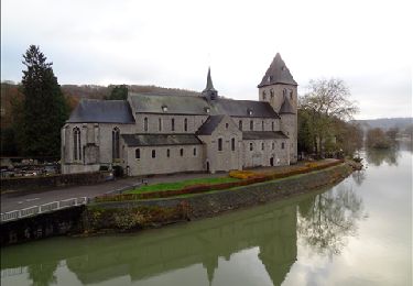
C'est à Anthée, au XIXe s, que fut découverte une des plus importantes villas gallo-romaines du pays. Composé du XVIe au début XVIIIe siècle, le château-ferme de la Forge de style français du XVIIIe siècle est une construction en U, faite de calcaire, brique et pierre bleue. Le château d’Ostemerée aux clochetons élégants est du début du XXème siècle

MAURENNE est caractérisé par la présence de deux grosses fermes dont l'une prend l'allure de château. Belles maisons en pierres de pays.

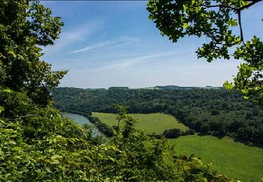
Ce petit havre de paix avec seulement 60 habitants se situe sur un petit promontoire longé par le ruisseau « Le Feron ». Le relief y est très accidenté.

Départ : Eglise de Gérin ou église d’Anthée.

Détails sur TraceGPS.com

http://www.tracegps.com/fr/parcours/circuit9276.htm#

Elevation profile

Positioning

Country:
Belgium
Region :
Wallonia
Department/Province :
Namur
Municipality :
Onhaye
Location:
Gerin
Start:(UTM)
629451 ; 5567587 (31U) N.

Comments

Please log in to post a review or rate the element


très belle randonnée variée


Trails nearby

Trail Walking Hastière - Balade de Hastière à Waulsort - Photo
Walking
GUIDE
Desrumaux

Walking

Medium
(2)
Hastière, Wallonia, Namur, Belgium
10.8 km | 13.8 km-effort
3h 2min
Yes
Trail Walking Hastière - RB-Na-10 Raccourci 2 - Sur les crêtes mosanes - Photo
Walking
PRO

Walking

Easy
(2)
Hastière, Wallonia, Namur, Belgium
18.1 km | 25 km-effort
4h 29min
Yes
Trail Walking Hastière - RB-Na-10 Raccourci 1 - Sur les crêtes mosanes - Photo
Walking
PRO

Walking

Medium
(3)
Hastière, Wallonia, Namur, Belgium
15.3 km | 21 km-effort
5h 28min
Yes
Trail Walking Hastière - RB-Na-10 - Sur les crêtes mosanes - Photo
Walking
PRO

Walking

Medium
(5)
Hastière, Wallonia, Namur, Belgium
22 km | 29 km-effort
6h 21min
Yes
Trail Walking Hastière - Hastiere - Photo
Walking
DoBelle

Walking

Difficult
(1)
Hastière, Wallonia, Namur, Belgium
32 km | 41 km-effort
6h 22min
Yes
Trail Walking Hastière - Balade de Hastière à Hermeton - Photo
Walking
GUIDE
Desrumaux

Walking

Easy
(1)
Hastière, Wallonia, Namur, Belgium
13.1 km | 16.8 km-effort
3h 37min
Yes
Trail Walking Hastière - Waulsort - Circuit Natura 2000, des sites qui valent le détour - Na08 - Photo
Walking
GUIDE+

Walking

Very easy
(4)
Hastière, Wallonia, Namur, Belgium
4.5 km | 6.9 km-effort
1h 40min
Yes
Trail Walking Onhaye - Balade entre Flavion et Molignée - Photo
Walking
GUIDE
Desrumaux

Walking

Easy
(5)
Onhaye, Wallonia, Namur, Belgium
13.3 km | 16.9 km-effort
3h 20min
Yes
Trail Walking Florennes - De Morville à Miavoye par le bois et le château de Fontaine - Photo
Walking
GUIDE
Desrumaux

Walking

Very easy
(4)
Florennes, Wallonia, Namur, Belgium
7.5 km | 9.2 km-effort
2h 0min
Yes


Close
My subscriptions