


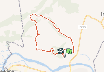


7.4 km | 11.5 km-effort


User


FREE GPS app for hiking
 SityTrail
IGN / Geographical institutes
SityTrail World
The world is yours!
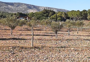
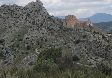
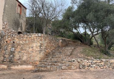
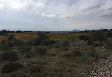
Trail Walking of 9.9 km to be discovered at Occitania, Pyrénées-Orientales, Espira-de-l'Agly. This trail is proposed by jeff66.
66 ESPIPA DE L'AGLY, serrat de la devesa, promenade en pinede, mas Cremat, les Balmettes, mas Joud, les terres noires, mas bonhomme, Jaça de les Vaques. Mas Samsó,


30 photos in total. Please click on a photo to see them all in the gallery.

Walking
Walking
Walking
Walking
Walking
Walking
Walking
Walking
Walking
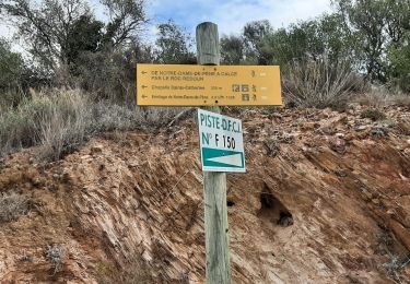
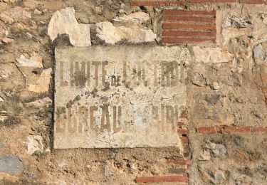
les sentiers ne sont pas entretenus donc on peut se perdre un peu, mais on arrive à récupérer l'itinéraire