


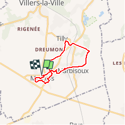


13.3 km | 16.4 km-effort

User


FREE GPS app for hiking
 SityTrail
IGN / Geographical institutes
SityTrail World
The world is yours!
Trail Walking of 9.6 km to be discovered at Wallonia, Walloon Brabant, Villers-la-Ville. This trail is proposed by calofrancis.
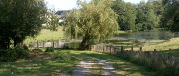
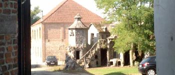
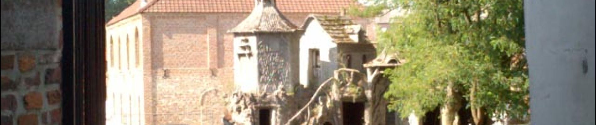
Balade documentée à Marbais
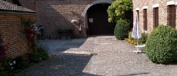
Attention le parc du château est privé. Il est donc nécessaire d’obtenir l’autorisation des propriétaires au n°122 de la rue de Priesmont.
¬¬¬¬¬¬¬¬¬___www.marcheursdumardi.be___


Walking

Walking

Walking

Walking

Walking

Walking
Walking
Walking
Walking