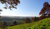
Trail Walking Viroinval - De Nismes à la Roche Trouée par le Fondry des Chiens - Photo

De Nismes à la Roche Trouée par le Fondry des Chiens

 Desrumaux
Desrumaux

User GUIDE

© OpenStreetMap contributors
Length
Length
7 km
Max alt
Max alt
232 m
Uphill gradient
Uphill gradient
226 m
Km-Effort
Km-Effort  
10 km
Min alt
Min alt
155 m
Downhill gradient
Downhill gradient
224 m
Boucle
Boucle
Yes
Creation date :
2015-11-17 00:00:00.0
Updated on :
2015-11-17 00:00:00.0

(2 Reviews)

Walking
Walking
2h09
Difficulty : Easy

Scan this QR Code to open this trail in the SityTrail application

FREE GPS app for hiking

Logo SityTrail SityTrail
IGN / Geographical institutes

Download SityTrail from the App Store Download SityTrail from Google Play

Logo SityTrail SityTrail World

The world is yours!

Download SityTrail from the App Store Download SityTrail from Google Play Download SityTrail on Huawei AppGallery

About

Trail Walking of 7 km to be discovered at Wallonia, Namur, Viroinval. This trail is proposed by Desrumaux.

Description

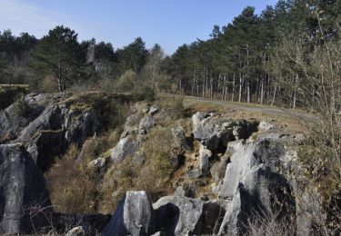
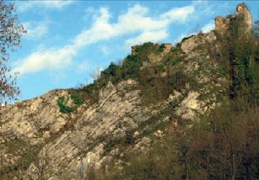
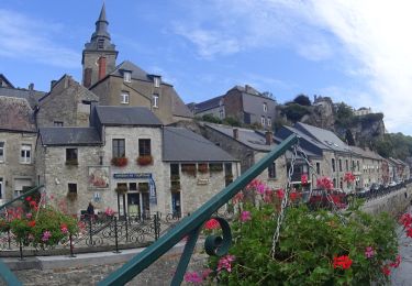
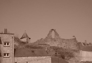
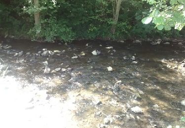
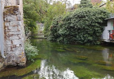
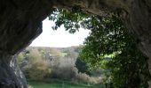
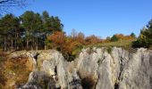
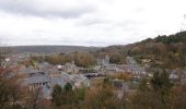
Entouré de collines et de plateaux, Nismes est le plus gros village de l’entité de Viroinval. La particularité de cette région est sans aucun doute sa nature exceptionnelle. La rivière de l’Eau Noire, après avoir traversé les grottes de Neptune, réapparaît à Nismes et se mêle à l’Eau Blanche pour former le Viroin. Ce point de résurgence de l’Eau Noire constitua longtemps le centre du village au temps des Celtes. Aujourd’hui, cette résurgence est un bras secondaire de l’Eau Noire mais c’est sans doute grâce à elle que naquit le village de Nismes.Départ : parking du Fondry des Chiens ou église de Nismes    

Elevation profile

Photos

Points of interest

Point of interest Viroinval - Nismes - Photo
Desrumaux
VIROINVAL 
Point of interest Viroinval - Nismes - Photo
Desrumaux
VIROINVAL 
Point of interest Viroinval - Nismes - Photo
Desrumaux
VIROINVAL 
Point of interest Viroinval - Nismes - Photo
Desrumaux
VIROINVAL 
Point of interest Viroinval - Nismes - Photo
Desrumaux
VIROINVAL 

Positioning

Country:
Belgium
Region :
Wallonia
Department/Province :
Namur
Municipality :
Viroinval
Location:
Nismes
Start:(UTM)
611447 ; 5547630 (31U) N.

Comments

Please log in to post a review or rate the element


magnifique balade la découverte du Fondry des chiens vaut vraiment le détour


Trails nearby

Trail Walking Couvin - Randonnée géologique - Photo
Walking
GUIDE+

Walking

Medium
(7)
Couvin, Wallonia, Namur, Belgium
21 km | 26 km-effort
5h 2min
Yes
Trail Walking Viroinval - RB-Na-13 Tiennes et vallons de la Calestienne - Photo
Walking
PRO

Walking

Medium
(13)
Viroinval, Wallonia, Namur, Belgium
22 km | 28 km-effort
6h 4min
Yes
Trail Walking Couvin - Promenade de la Justice et du centre de Couvin - Photo
Walking
GUIDE
Desrumaux

Walking

Very easy
(1)
Couvin, Wallonia, Namur, Belgium
7.1 km | 8.5 km-effort
1h 53min
Yes
Trail Cycle Viroinval - À la découverte de Viroinval - Photo
Cycle
GUIDE+

Cycle

Medium
(1)
Viroinval, Wallonia, Namur, Belgium
28 km | 34 km-effort
1h 58min
Yes
Trail Walking Couvin - (Couvin) 22 Promenade de l'Eau Noire - Photo
Walking
GUIDE+

Walking

Easy
(3)
Couvin, Wallonia, Namur, Belgium
5.5 km | 7.7 km-effort
1h 38min
Yes
Trail Walking Couvin - couvin - Au long de l'eau noire - Photo
Walking
telliers

Walking

Easy
(3)
Couvin, Wallonia, Namur, Belgium
11.4 km | 14.7 km-effort
3h 44min
Yes
Trail Walking Viroinval - fondry des chiens - Photo
Walking
patoche_78

Walking

Easy
(1)
Viroinval, Wallonia, Namur, Belgium
5.3 km | 6.9 km-effort
1h 35min
Yes
Trail Walking Couvin - RF-Na-11-Neptune_Petite-boucle - Photo
Walking
PRO

Walking

Medium
(2)
Couvin, Wallonia, Namur, Belgium
4.9 km | 6.7 km-effort
1h 31min
Yes
Trail Nordic walking Viroinval - VNW - Olloy-sur-viroin - 1 Fond de chênaux - Photo
Nordic walking
hannodi

Nordic walking

Medium
(1)
Viroinval, Wallonia, Namur, Belgium
5 km | 6.5 km-effort
1h 3min
Yes


Close
My subscriptions