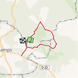

19.2 km | 22 km-effort


User


FREE GPS app for hiking
 SityTrail
IGN / Geographical institutes
SityTrail World
The world is yours!
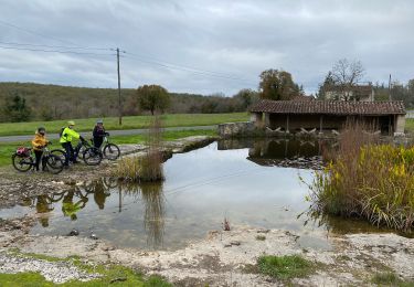
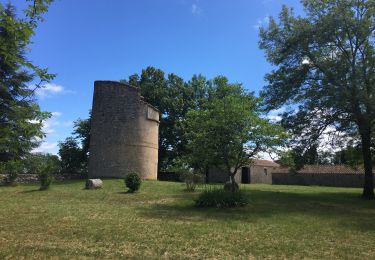
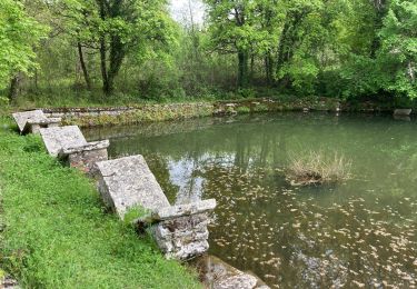
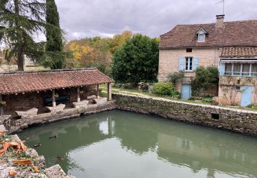
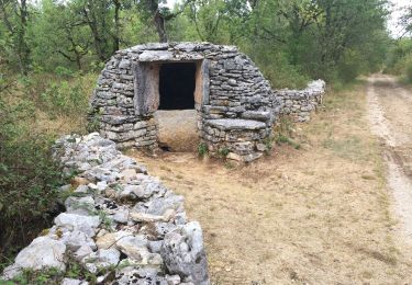
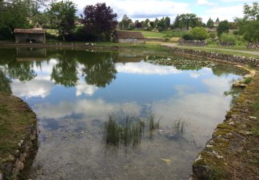
Trail Walking of 5.4 km to be discovered at Occitania, Lot, Escamps. This trail is proposed by MM46.

Walking

Walking