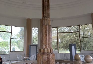
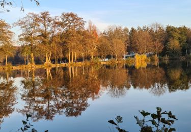
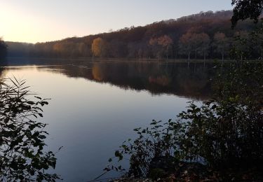
15.2 km | 19.2 km-effort
avec Matt
sebfatet
User
Length
26 km
Max alt
486 m
Uphill gradient
428 m
Km-Effort
32 km
Min alt
351 m
Downhill gradient
502 m
Boucle
No
Creation date :
2018-04-11 17:58:16.355
Updated on :
2018-04-11 17:58:16.355
2h19
Difficulty : Very easy
FREE GPS app for hiking
About
Trail Other activity of 26 km to be discovered at Grand Est, Vosges, Suriauville. This trail is proposed by sebfatet.
Positioning
Country:
France
Region :
Grand Est
Department/Province :
Vosges
Municipality :
Suriauville
Location:
Unknown
Start:(Dec)
Start:(UTM)
711889 ; 5339030 (31U) N.
Comments
Trails nearby
Ccontrex-Bulgnéville-Contrex
Walking
Very difficult
Contrexéville,
Grand Est,
Vosges,
France
3h 49min
Yes
PR3 Bigneville étang des récollets . Contrexeville lac de conge
Walking
Very easy
Bulgnéville,
Grand Est,
Vosges,
France
12 km | 15 km-effort
3h 6min
Yes
Bulgneville : Sur les traces du passé
Walking
Very easy
Bulgnéville,
Grand Est,
Vosges,
France
12.5 km | 15.7 km-effort
3h 12min
Yes
Bulgnéville : Circuit court des 2 lacs
Walking
Very easy
Bulgnéville,
Grand Est,
Vosges,
France
11.6 km | 14.4 km-effort
2h 54min
Yes
Contrexéville : Vair et voie romaine
Walking
Very easy
Contrexéville,
Grand Est,
Vosges,
France
11 km | 13.5 km-effort
2h 30min
Yes
Circuit entre forêts, thermes, et sentier des lacs au parc
Walking
Easy
Contrexéville,
Grand Est,
Vosges,
France
19.9 km | 23 km-effort
5h 4min
Yes
Contrexeville - Les lacs de la Folie, de saulxures et des récollets
Walking
Easy
Contrexéville,
Grand Est,
Vosges,
France
19.4 km | 24 km-effort
8h 18min
Yes
CONTREXEVILLE - LE SENTIER DES 3 LACS
Walking
Medium
Contrexéville,
Grand Est,
Vosges,
France
19.6 km | 24 km-effort
8h 6min
Yes