


16.6 km | 19.6 km-effort


User


FREE GPS app for hiking
 SityTrail
IGN / Geographical institutes
SityTrail World
The world is yours!
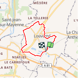
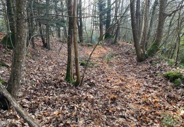
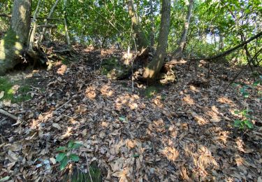
Trail Walking of 11 km to be discovered at Pays de la Loire, Mayenne, Louverné. This trail is proposed by Axelloceane.
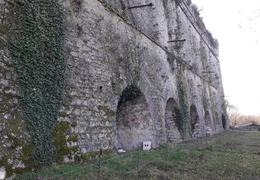
Départ de la gare de Louverné.Traverser la route et prendre le chemin qui longe la voie de chemin de fer.Suivre le chemin et tourner à gauche vers le lotissement.Longer les terrains de foot et rejoindre le pont enjambant la quatre voie.Au rond point prendre le chemin direction la Tellerie.Au calvaire tourner à gauche.Traverser la D131 et de nouveau au calvaire suivant tourner à gauche pour rejoindre le pont permettant d'accéder à l'autoroute.Au rond point prendre direction Louverné et ensuite tourner à droite direction les anciens four à chaux.En fin de randonnée traverser du site Ecologia permettant de rejoindre le parking de la gare.

Walking
Walking

Walking
Walking
Walking
Walking
Walking
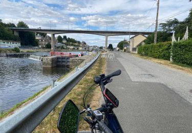
Bicycle tourism

Other activity