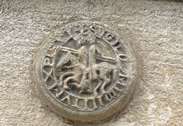
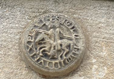
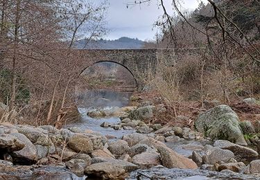
Trail Walking Colognac - colognac camp barrat - Photo

colognac camp barrat

 hvezinet
hvezinet

User

© OpenStreetMap contributors
Length
Length
12.8 km
Max alt
Max alt
920 m
Uphill gradient
Uphill gradient
487 m
Km-Effort
Km-Effort  
19.3 km
Min alt
Min alt
498 m
Downhill gradient
Downhill gradient
487 m
Boucle
Boucle
Yes
Creation date :
2015-11-06 00:00:00.0
Updated on :
2015-11-06 00:00:00.0

(0 Reviews)

Walking
Walking
4h16
Difficulty : Medium

Scan this QR Code to open this trail in the SityTrail application

FREE GPS app for hiking

Logo SityTrail SityTrail

IGN / Geographical institutes

Download SityTrail from the App Store Download SityTrail from Google Play

Logo SityTrail SityTrail World

The world is yours!

Download SityTrail from the App Store Download SityTrail from Google Play Download SityTrail on Huawei AppGallery

About

Trail Walking of 12.8 km to be discovered at Occitania, Gard, Colognac. This trail is proposed by hvezinet.

Description

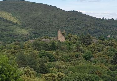
Les drailles et la crete de camp Barrat. On suit le GR6 jusqu'au col des fosses. Au debut le long du ruisseau de coulegne etses jolies cascades. Le chemin monte ensuite en lacets traverse un chemin et continue en echarpe avec de jolies vues. dommage qu'il soit si dégradé et penible a marcher par endroit. On arrive au col des fosses puis oncontinue sur le GR on longe le Gite des fosses et en balcon on rejoint le CAMP BARRAT. Il faut alors prendre a droite un sentier a peine marqué par endroit qui suit globalement la crete vers le nord est. se guider aux balises bleues. A un replat obliquer sud est toujours en crete et avec les balises bleues. le parcours devient plus boisé. la pente s'accentue et la sente balisee bleue debouche sur un chemin.prendre a gauche et descendre plein nord, traverser un ruisseau puis le hameau en ruine de Picard. 300 metres apres le hameau prendre a droite un sentier qui descend en lacet entre des maisons en ruine. il descend sud est a la Poujade. traverser le ruisseau de Bouzon et emprunter le chemin jusqu'à Colognac.

Elevation profile

Positioning

Country:
France
Region :
Occitania
Department/Province :
Gard
Municipality :
Colognac
Location:
Unknown
Start:(UTM)
566205 ; 4875319 (31T) N.

Trails nearby

Trail Walking Lasalle - Lasalle (la Salendrinque) - Photo
Walking
coulombf

Walking

Medium
(1)
Lasalle, Occitania, Gard, France
13.1 km | 19.5 km-effort
4h 26min
Yes
Trail Walking Soudorgues - Vallée Salindrenque - Photo
Walking
GUIDE
nadinebondoux

Walking

Difficult
Soudorgues, Occitania, Gard, France
19.4 km | 30 km-effort
6h 20min
Yes
Trail Walking Lasalle - LASALLE - SAINTE-CROIX-DE-CADERLE – CALVIAC - 8.3Km - 02h30 - Dénivelé 352 m - Photo
Walking
dansmabulle

Walking

Difficult
(1)
Lasalle, Occitania, Gard, France
12.8 km | 19.1 km-effort
3h 59min
Yes
Trail Walking Sainte-Croix-de-Caderle - Sainte croix de caderne - Photo
Walking
labarone

Walking

Difficult
Sainte-Croix-de-Caderle, Occitania, Gard, France
19.4 km | 30 km-effort
7h 11min
Yes
Trail On foot Colognac - 30 du Cayrel au Camp Barrat 20/02/24 - Photo
On foot
silvestreclaudine

On foot

Medium
Colognac, Occitania, Gard, France
16 km | 25 km-effort
5h 38min
Yes
Trail Walking Lasalle - Lasalle  - Photo
Walking
GUIDE
Roger Philippe Wallez

Walking

Very difficult
Lasalle, Occitania, Gard, France
15.3 km | 22 km-effort
10h 52min
No
Trail Walking Lasalle - LaSalle  - Photo
Walking
GUIDE
Roger Philippe Wallez

Walking

Very difficult
Lasalle, Occitania, Gard, France
15.3 km | 22 km-effort
5h 31min
No
Trail Walking Lasalle - vallée Salindrenque autour de Lasalle  - Photo
Walking
GUIDE
nadinebondoux

Walking

Medium
Lasalle, Occitania, Gard, France
13.3 km | 19.7 km-effort
5h 9min
Yes
Trail Walking Saint-Roman-de-Codières - st roman de codieres - Photo
Walking
toinou30

Walking

Medium
Saint-Roman-de-Codières, Occitania, Gard, France
16.2 km | 24 km-effort
6h 11min
Yes


Close
My subscriptions