


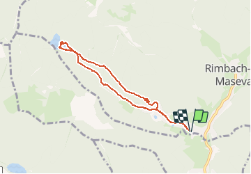


19.9 km | 34 km-effort


User GUIDE


FREE GPS app for hiking
 SityTrail
IGN / Geographical institutes
SityTrail World
The world is yours!
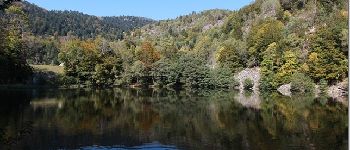
Trail Walking of 6.8 km to be discovered at Grand Est, Haut-Rhin, Rimbach-près-Masevaux. This trail is proposed by pascalou73.
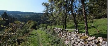
Une randonnée au coeur des Vosges au fil de l eau cette rando va vous conduire au lac de neuweiher niché dans un ecrin de verdure


Walking

Walking

Walking

Walking

Walking

Walking

Walking

Walking

Walking