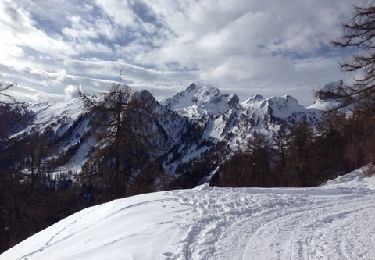
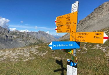
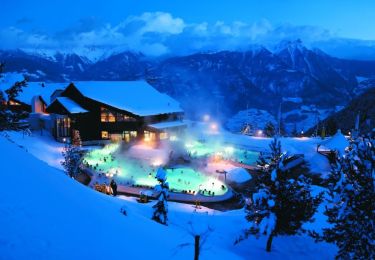
Trail Walking Chamoson - Ovronnaz, Les Pointes de Tsérié - Photo

Ovronnaz, Les Pointes de Tsérié

 rpf
rpf

User

© OpenStreetMap contributors
Length
Length
10.2 km
Max alt
Max alt
2731 m
Uphill gradient
Uphill gradient
954 m
Km-Effort
Km-Effort  
23 km
Min alt
Min alt
1913 m
Downhill gradient
Downhill gradient
954 m
Boucle
Boucle
Yes
Creation date :
2014-12-10 00:00:00.0
Updated on :
2014-12-10 00:00:00.0

(0 Reviews)

Walking
Walking
7h30
Difficulty : Unknown

Scan this QR Code to open this trail in the SityTrail application

FREE GPS app for hiking

Logo SityTrail SityTrail

IGN / Geographical institutes

Download SityTrail from the App Store Download SityTrail from Google Play

Logo SityTrail SityTrail World

The world is yours!

Download SityTrail from the App Store Download SityTrail from Google Play Download SityTrail on Huawei AppGallery

About

Trail Walking of 10.2 km to be discovered at Valais/Wallis, Conthey, Chamoson. This trail is proposed by rpf.

Description

Sur la longue arête qui relie la Dent de Chamosentze au sommet de Haut-de-Cry, une successions de pointes surplombant les impressionnantes falaises de la face sud. Deux pointes plus arrondies dans toutes ces tours et ces remparts, les Pointes de Tsérié.
Un objectif insolite, une excursion "à vue" hors des sentiers, sur le flanc nord de Haut de Cry, très pentu et constitué d''une espéce de caillasse argileuse qui rend la progression très difficile, voire dangereuse. A réserver aux amateurs d''inconnu, de difficultés, d''acrobaties et de sensations. Mais là-haut, quel spectacle ! S''il se trouve des volontaires,  ce sera à vos risques et périls...

Départ à l''alpage de Chamosentze qu''on atteint par une route forestière en assez bon état.

Une balade de  " www.toprando.ch "

Elevation profile

Positioning

Country:
Switzerland
Region :
Valais/Wallis
Department/Province :
Conthey
Municipality :
Chamoson
Location:
Unknown
Start:(UTM)
358393 ; 5120711 (32T) N.

Trails nearby

Trail Nordic walking Leytron - Ovronaz - Loutze - Ovronaz - Photo
Nordic walking
siejcsal

Nordic walking

Easy
Leytron, Valais/Wallis, Martigny, Switzerland
7.6 km | 13.1 km-effort
3h 41min
Yes
Trail Walking Leytron - Cabane Rambert - Photo
Walking
siejcsal

Walking

Difficult
Leytron, Valais/Wallis, Martigny, Switzerland
14 km | 26 km-effort
5h 3min
No
Trail Walking Leytron - 0vronnaz  cabane FENESTRAL - Photo
Walking
michauxpaul

Walking

Very difficult
Leytron, Valais/Wallis, Martigny, Switzerland
12.3 km | 22 km-effort
5h 0min
No
Trail Walking Chamoson - Ovronnaz - Photo
Walking
Repi Newlife

Walking

Very easy
Chamoson, Valais/Wallis, Conthey, Switzerland
32 km | 41 km-effort
78h 38min
No
Trail Walking Leytron - Tour d'Ovronaz - Route des bains - Photo
Walking
newcom4u

Walking

Easy
Leytron, Valais/Wallis, Martigny, Switzerland
2.1 km | 3.1 km-effort
40min
Yes
Trail Mountain bike Leytron - Bike32926 - Photo
Mountain bike
GUIDE+

Mountain bike

Very easy
Leytron, Valais/Wallis, Martigny, Switzerland
22 km | 36 km-effort
Unknown
Yes
Trail Walking Bex - Bex (Genferseegebiet) - Photo
Walking
GUIDE+

Walking

Very easy
Bex, Vaud, District d'Aigle, Switzerland
10.5 km | 18.6 km-effort
5h 55min
Yes
Trail Snowshoes Leytron - Ovronnaz - J1 - Tour du Grand Chateau - Photo
Snowshoes
michel.heusschen@skynet.be

Snowshoes

Easy
Leytron, Valais/Wallis, Martigny, Switzerland
7.1 km | 18.9 km-effort
5h 0min
No
Trail Snowshoes Saillon - Ovronaz - J2 - Dent de Morcles (2968m) - Photo
Snowshoes
michel.heusschen@skynet.be

Snowshoes

Medium
Saillon, Valais/Wallis, Martigny, Switzerland
14.3 km | 30 km-effort
6h 0min
No


Close
My subscriptions