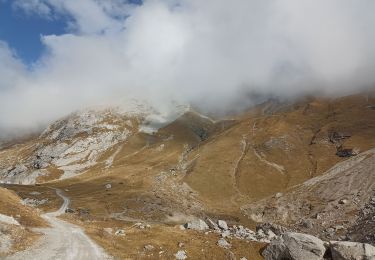
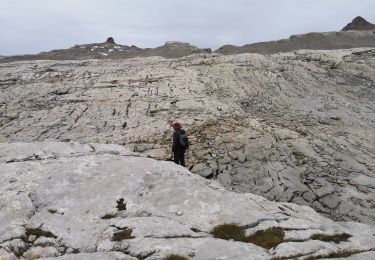
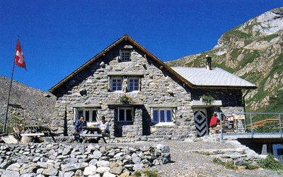
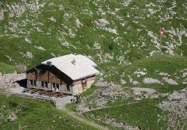
Trail Walking Savièse - Tour du Wildhorn - Photo
 rpf
rpf

User

© OpenStreetMap contributors
Length
Length
52 km
Max alt
Max alt
2887 m
Uphill gradient
Uphill gradient
3820 m
Km-Effort
Km-Effort  
103 km
Min alt
Min alt
1392 m
Downhill gradient
Downhill gradient
3826 m
Boucle
Boucle
Yes
Creation date :
2014-12-10 00:00:00.0
Updated on :
2014-12-10 00:00:00.0

(0 Reviews)

Walking
Walking
24h52
Difficulty : Unknown

Scan this QR Code to open this trail in the SityTrail application

FREE GPS app for hiking

Logo SityTrail SityTrail

IGN / Geographical institutes

Download SityTrail from the App Store Download SityTrail from Google Play

Logo SityTrail SityTrail World

The world is yours!

Download SityTrail from the App Store Download SityTrail from Google Play Download SityTrail on Huawei AppGallery

About

Trail Walking of 52 km to be discovered at Valais/Wallis, Sion, Savièse. This trail is proposed by rpf.

Description

Départ au sommet du télésiège de Jorasse (vérifier les horaires).
Magnifiques vues sur l''arrière du Grand Chavalard et sur l''ensemble des Muverans.

Le parcours ne suit pas toujours des sentiers balisés et traverse plusieurs grands pierriers.
Des névés peuvent persister jusqu''en août sur les pentes nord de Six du Doe.
Bon pied, bon équilibre et bon équipement indispensables !

Une balade de  " www.toprando.ch "

Elevation profile

Positioning

Country:
Switzerland
Region :
Valais/Wallis
Department/Province :
Sion
Municipality :
Savièse
Location:
Unknown
Start:(UTM)
369059 ; 5135615 (32T) N.

Trails nearby

Trail Walking Savièse - Une cabane dans les rochers - Photo
Walking
jeff2

Walking

Medium
Savièse, Valais/Wallis, Sion, Switzerland
3 km | 7.3 km-effort
1h 33min
Yes
Trail Nordic walking Savièse - 25.08.20 Sanetsch - Photo
Nordic walking
suzanne.bron

Nordic walking

Very easy
Savièse, Valais/Wallis, Sion, Switzerland
13.3 km | 20 km-effort
5h 32min
No
Trail Walking Lauenen - Tour du Wildhorn, jour 2 - Photo
Walking
GUIDE+

Walking

Very easy
Lauenen, Bern, Obersimmental-Saanen administrative district, Switzerland
7.1 km | 15.4 km-effort
4h 0min
No
Trail Walking Savièse - Tour du Wildhorn, jour 1 - Photo
Walking
GUIDE+

Walking

Very easy
Savièse, Valais/Wallis, Sion, Switzerland
14.6 km | 28 km-effort
6h 0min
No
Trail Walking Savièse - st_bg_antannes - Photo
Walking
GUIDE+

Walking

Very easy
Savièse, Valais/Wallis, Sion, Switzerland
8.9 km | 19.1 km-effort
Unknown
No
Trail Walking Lauenen - Gstaad: Lauenensee / SAC Geltenhütte - Photo
Walking
GUIDE+

Walking

Very easy
Lauenen, Bern, Obersimmental-Saanen administrative district, Switzerland
7.6 km | 16.5 km-effort
Unknown
No
Trail Walking Savièse - huetten_04 - Photo
Walking
GUIDE+

Walking

Very easy
Savièse, Valais/Wallis, Sion, Switzerland
56 km | 116 km-effort
19h 7min
Yes
Trail Walking Savièse - Martigny-Kandersteg (4) Cabane des Audannes - Photo
Walking
rpf

Walking

Very easy
Savièse, Valais/Wallis, Sion, Switzerland
11.2 km | 23 km-effort
5h 40min
No
Trail Walking Savièse - Sanetsch, Tête Noire - Photo
Walking
rpf

Walking

Very easy
Savièse, Valais/Wallis, Sion, Switzerland
6.8 km | 10.8 km-effort
2h 51min
Yes


Close
My subscriptions