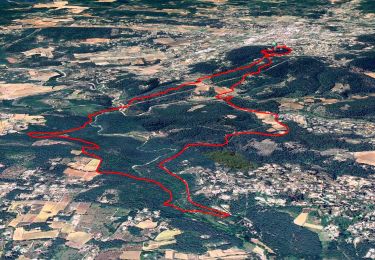
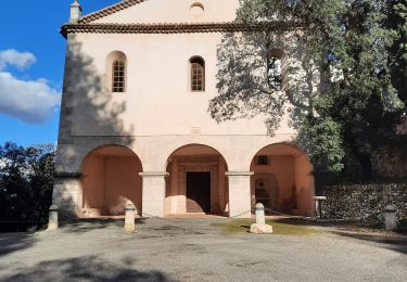
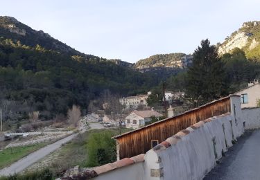
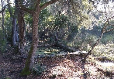
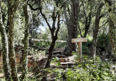
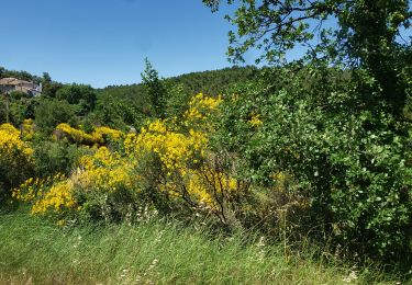
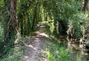
Trail Walking Flayosc - Reco Château de Berne - Photo
 Sugg
Sugg

User

© OpenStreetMap contributors
Length
Length
11.3 km
Max alt
Max alt
335 m
Uphill gradient
Uphill gradient
241 m
Km-Effort
Km-Effort  
14.5 km
Min alt
Min alt
213 m
Downhill gradient
Downhill gradient
232 m
Boucle
Boucle
Yes
Creation date :
2019-03-22 16:59:36.6
Updated on :
2019-03-22 16:59:36.662

(3 Reviews)

Walking
Walking
3h09
Difficulty : Medium

Scan this QR Code to open this trail in the SityTrail application

FREE GPS app for hiking

Logo SityTrail SityTrail

IGN / Geographical institutes

Download SityTrail from the App Store Download SityTrail from Google Play

Logo SityTrail SityTrail World

The world is yours!

Download SityTrail from the App Store Download SityTrail from Google Play Download SityTrail on Huawei AppGallery

About

Trail Walking of 11.3 km to be discovered at Provence-Alpes-Côte d'Azur, Var, Flayosc. This trail is proposed by Sugg.

Description

31-10-2015
Reco de la rando demi-journée prévue le 04-11-15
Avec Martine Chantal et Nadine.
Beau temps beau Parcours.

Elevation profile

Positioning

Country:
France
Region :
Provence-Alpes-Côte d'Azur
Department/Province :
Var
Municipality :
Flayosc
Location:
Unknown
Start:(UTM)
287070 ; 4821545 (32T) N.

Comments

Please log in to post a review or rate the element


randonnée obsolète.chemins fermes clôtures et en friche.a part le château de Berne elle ne présente aucun intérêt


Netter Rundweg, schön dass keine Quads unterwegs waren. Im Sommer Wasser und gute Schuhe erforderlich


Trails nearby

Trail Walking Flayosc - Flayosc - Photo
Walking
sagot

Walking

Easy
(4)
Flayosc, Provence-Alpes-Côte d'Azur, Var, France
8.3 km | 10.6 km-effort
2h 18min
Yes
Trail Walking Lorgues - SityTrail - Le hameau de Sauveclare - Photo
Walking
GUIDE
affinetataille

Walking

Easy
Lorgues, Provence-Alpes-Côte d'Azur, Var, France
14.2 km | 20 km-effort
6h 0min
Yes
Trail Walking Lorgues - Lorgues et l'Ermitage Saint-Ferréol - Photo
Walking
Chantheys

Walking

Medium
Lorgues, Provence-Alpes-Côte d'Azur, Var, France
5.5 km | 8 km-effort
1h 48min
Yes
Trail Walking Draguignan - Rebouillon le long de la Nartuby - Photo
Walking
geli.henri

Walking

Easy
Draguignan, Provence-Alpes-Côte d'Azur, Var, France
4.8 km | 5.9 km-effort
1h 33min
Yes
Trail Walking Flayosc - 20210922 Berne3 les Oussiayes - Photo
Walking
Sugg

Walking

Medium
Flayosc, Provence-Alpes-Côte d'Azur, Var, France
11.5 km | 14.8 km-effort
4h 39min
Yes
Trail Walking Lorgues - 20190130 Mentone Est rando réelle.  - Photo
Walking
Sugg

Walking

Easy
Lorgues, Provence-Alpes-Côte d'Azur, Var, France
17.4 km | 22 km-effort
4h 40min
Yes
Trail Walking Lorgues - Lorgues - sentier découverte Saint-Ferréol - Photo
Walking
Chantheys

Walking

Easy
Lorgues, Provence-Alpes-Côte d'Azur, Var, France
2.6 km | 3.8 km-effort
1h 3min
Yes
Trail Walking Flayosc -
Walking
boulinevelyne

Walking

Medium
Flayosc, Provence-Alpes-Côte d'Azur, Var, France
9 km | 11.4 km-effort
2h 35min
Yes
Trail sport Lorgues - Tour St Jaumes pont d’argens thoronet - Photo
sport
nijhoff@lyts.nl

sport

Very easy
Lorgues, Provence-Alpes-Côte d'Azur, Var, France
18.1 km | 23 km-effort
Unknown
Yes


Close
My subscriptions