


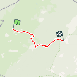

6.2 km | 9.9 km-effort


User


FREE GPS app for hiking
 SityTrail
IGN / Geographical institutes
SityTrail World
The world is yours!
Trail Other activity of 3.2 km to be discovered at Auvergne-Rhône-Alpes, Ain, Thoiry. This trail is proposed by anselmo.
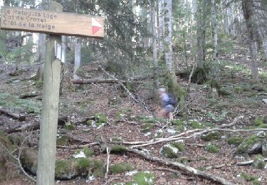
Depart du Tiocan au dessus de Thoiry
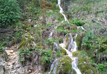
Pemière partie de montée dans les bois sur chemin forestier
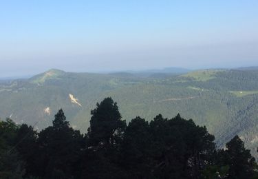
La suite se passe dans les paturages
Chamois souvent visible à la sortie du bois
Snowshoes
Walking
Snowshoes
Walking
Walking
Walking

Walking
Walking

Walking