


10 km | 19 km-effort


User


FREE GPS app for hiking
 SityTrail
IGN / Geographical institutes
SityTrail World
The world is yours!
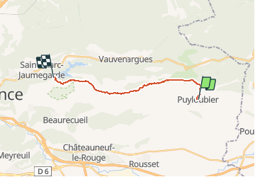
Trail Walking of 15 km to be discovered at Provence-Alpes-Côte d'Azur, Bouches-du-Rhône, Puyloubier. This trail is proposed by lauramb.
GR9 de Puyloubier au Prieuré
Imoucha du Prieuré au Barrage Bimont
Départ Puyloubier (Navettes d'Aix ou voiture sur parking)
Arrivée à Bimont (retour à Aix par navettes ou voiture déposée sur parking pour retour à Puyloubier)

Walking

Walking

Walking

Walking

On foot

Walking
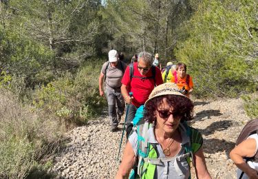
Walking
Walking
Walking