


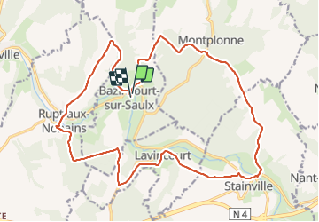

24 km | 28 km-effort


User


FREE GPS app for hiking
 SityTrail
IGN / Geographical institutes
SityTrail World
The world is yours!
Trail Walking of 22 km to be discovered at Grand Est, Meuse, Bazincourt-sur-Saulx. This trail is proposed by cath310.
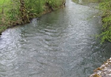
vallée de la saulx


Walking
Walking
Walking
Walking

Running

Mountain bike
Walking
Running
Mountain bike
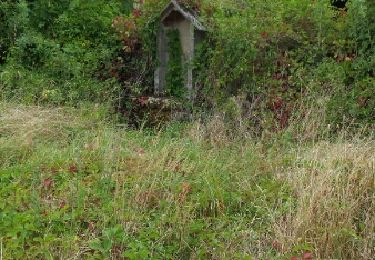
à faire par météo ensoleillée !