


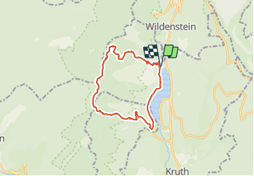

16.8 km | 27 km-effort

User


FREE GPS app for hiking
 SityTrail
IGN / Geographical institutes
SityTrail World
The world is yours!
Trail Other activity of 14.1 km to be discovered at Grand Est, Haut-Rhin, Kruth. This trail is proposed by Anlo.
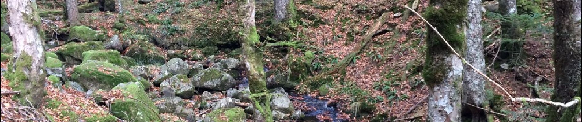
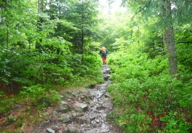
Grande et belle Rando, gros dénivelé sur les 2 premières heures et une descente difficile car très pierreux. Des paysages superbes sur les chaumes. Pour marcheur entrainé.


Walking

Walking

Walking

Walking

Walking

Walking
Walking

Snowshoes
Walking