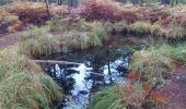
Trail Walking Fontainebleau - M&R-151023 - Salamandre-GdsFeuillards - Photo

M&R-151023 - Salamandre-GdsFeuillards

 randodan
randodan

User

© OpenStreetMap contributors
Length
Length
16.2 km
Max alt
Max alt
142 m
Uphill gradient
Uphill gradient
239 m
Km-Effort
Km-Effort  
19.4 km
Min alt
Min alt
82 m
Downhill gradient
Downhill gradient
244 m
Boucle
Boucle
Yes
Creation date :
2015-11-05 00:00:00.0
Updated on :
2015-11-05 00:00:00.0

(0 Reviews)

Walking
Walking
5h20
Difficulty : Easy

Scan this QR Code to open this trail in the SityTrail application

FREE GPS app for hiking

Logo SityTrail SityTrail
IGN / Geographical institutes

Download SityTrail from the App Store Download SityTrail from Google Play

Logo SityTrail SityTrail World
The world is yours!

Download SityTrail from the App Store Download SityTrail from Google Play Download SityTrail on Huawei AppGallery

About

Trail Walking of 16.2 km to be discovered at Ile-de-France, Seine-et-Marne, Fontainebleau. This trail is proposed by randodan.

Description

Demoiselles, Salamandre et Grands Feuillards avec Marche et Rêve<br>
- 23 octobre 2015 -<br>
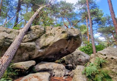
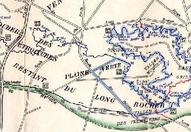
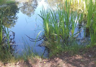
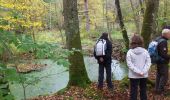
Départ du parking du Vert Galant, 9h30 . Denecourt n°9 ouest dans le Rocher des Demoiselles . Rocher du Vert Galant (faut baisser la tête), la Mare aux Salamandres (rien à voir avec le "Rocher" qu'on verra plus loin), l'Abri du Satyre (bien évidemment repéré "X"), le Rocher du Marcassin (il n'a pas volé son nom) à la suite duquel nous quittons le Denecourt 9.<br>
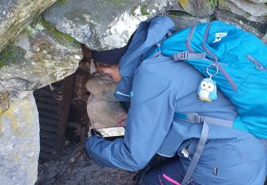
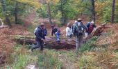
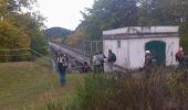
Ascension du Mont Morillon pour ensuite descendre et remonter sur le Rocher du même Mont . Longeons l'aqueduc de la Vanne en bout duquel une pause biberon est réclamée . Repartons cette fois en hors piste sur la crête du Rocher de la Salamandre . Passons devant un vestige de bâtiment militaire, objet d'une 2e pause . Rejoignons la Route d'Adam pour escalader ensuite le Mont Enflammé . Puis c'est le Rocher de la Combe et son magnifique front de taille, mais des estomacs affamés réclament le casse-croûte, alors cap sur les Grands Feuillards.<br>
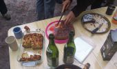
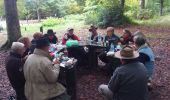
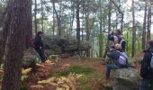
Un heure moins dix, sommes attablés autour du pique-nique . Une petite heure plus tard, nous reprenons la route (au sens propre du terme, sur 1 km).<br>
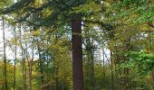
La Mare aux Corneilles (niveau très bas), puis la Mare du Parc aux Bœufs en hors piste . Carrefour du Mystère (et son cèdre de l'Atlas), des Adieux, des Soupirs, et c'est le retour aux voitures.<br>
15h50, cidre et gâteaux pour les 18 participants.

Elevation profile

Photos

Points of interest

Point of interest Fontainebleau - 01 - La Mare aux Salamandres - Photo
randodan
Point of interest Fontainebleau - 02 - Rocher du Marcassin (E) - Photo
randodan
Point of interest Fontainebleau - 03 - L'aqueduc de la Vanne - Photo
randodan
Point of interest Fontainebleau - 04 - La Salamandre - Photo
randodan
FONTAINEBLEAU 
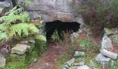
Point of interest Fontainebleau - 05 - Un abri de carrier - Photo
randodan
Point of interest Fontainebleau - 06 - Le Pique-nique - Photo
randodan
FONTAINEBLEAU 
Point of interest Fontainebleau - 07 - La Mare du Parc aux Boeufs - Photo
randodan
Point of interest Fontainebleau - 08 - Cèdre de l'Atlas - Photo
randodan
FONTAINEBLEAU 
Point of interest Fontainebleau - 09 - Un peu de gymnastique - Photo
randodan
Point of interest Fontainebleau - 10 - Le cidre et le gâteaux - Photo
randodan

Positioning

Country:
France
Region :
Ile-de-France
Department/Province :
Seine-et-Marne
Municipality :
Fontainebleau
Location:
Unknown
Start:(UTM)
476286 ; 5358292 (31U) N.

Trails nearby

Trail Walking Fontainebleau - La Mare aux Fées 18km - Forêt de Fontainebleau - Photo
Walking
onftest

Walking

Medium
(5)
Fontainebleau, Ile-de-France, Seine-et-Marne, France
18 km | 22 km-effort
4h 41min
Yes
Trail Walking Recloses - Boucle recloses Nemours Grez/loing - Photo
Walking
GUIDE
chessyca

Walking

Medium
(1)
Recloses, Ile-de-France, Seine-et-Marne, France
30 km | 34 km-effort
6h 20min
Yes
Trail On foot Fontainebleau - Boucle 28 km en forêt de Fontainebleau  - Photo
On foot
GUIDE
chessyca

On foot

Medium
(1)
Fontainebleau, Ile-de-France, Seine-et-Marne, France
28 km | 34 km-effort
7h 43min
Yes
Trail Walking Fontainebleau - GLM-150311 - PVerte-Fourceau-Béatrix - Photo
Walking
randodan

Walking

Medium
(1)
Fontainebleau, Ile-de-France, Seine-et-Marne, France
16.5 km | 20 km-effort
6h 0min
Yes
Trail Walking Bourron-Marlotte - Boucle Bourron Marlotte ( reco Didier) - Photo
Walking
GUIDE
chessyca

Walking

Easy
(1)
Bourron-Marlotte, Ile-de-France, Seine-et-Marne, France
28 km | 32 km-effort
5h 35min
Yes
Trail Walking Fontainebleau - Rocher Fourceau-Petit Mont Chauvet SR210523Ve?? fmg - Photo
Walking
fmg

Walking

Very difficult
(2)
Fontainebleau, Ile-de-France, Seine-et-Marne, France
19.5 km | 24 km-effort
5h 27min
Yes
Trail Walking Fontainebleau - Rando mares aux fees Gilles18 km - Photo
Walking
GUIDE
jeanmarcMasson

Walking

Very difficult
(1)
Fontainebleau, Ile-de-France, Seine-et-Marne, France
17.8 km | 22 km-effort
4h 58min
Yes
Trail Walking Fontainebleau - Sentier Denecourt N°9 Rocher des Demoiselles - Photo
Walking
aubr

Walking

Medium
(1)
Fontainebleau, Ile-de-France, Seine-et-Marne, France
5 km | 6.3 km-effort
1h 25min
Yes
Trail On foot Fontainebleau - Rando des trois châteaux parcours 42 km Fontainebleau Vaux le vicomte Blandy les tours - Photo
On foot
GUIDE
chessyca

On foot

Very difficult
Fontainebleau, Ile-de-France, Seine-et-Marne, France
43 km | 50 km-effort
11h 23min
No


Close
My subscriptions